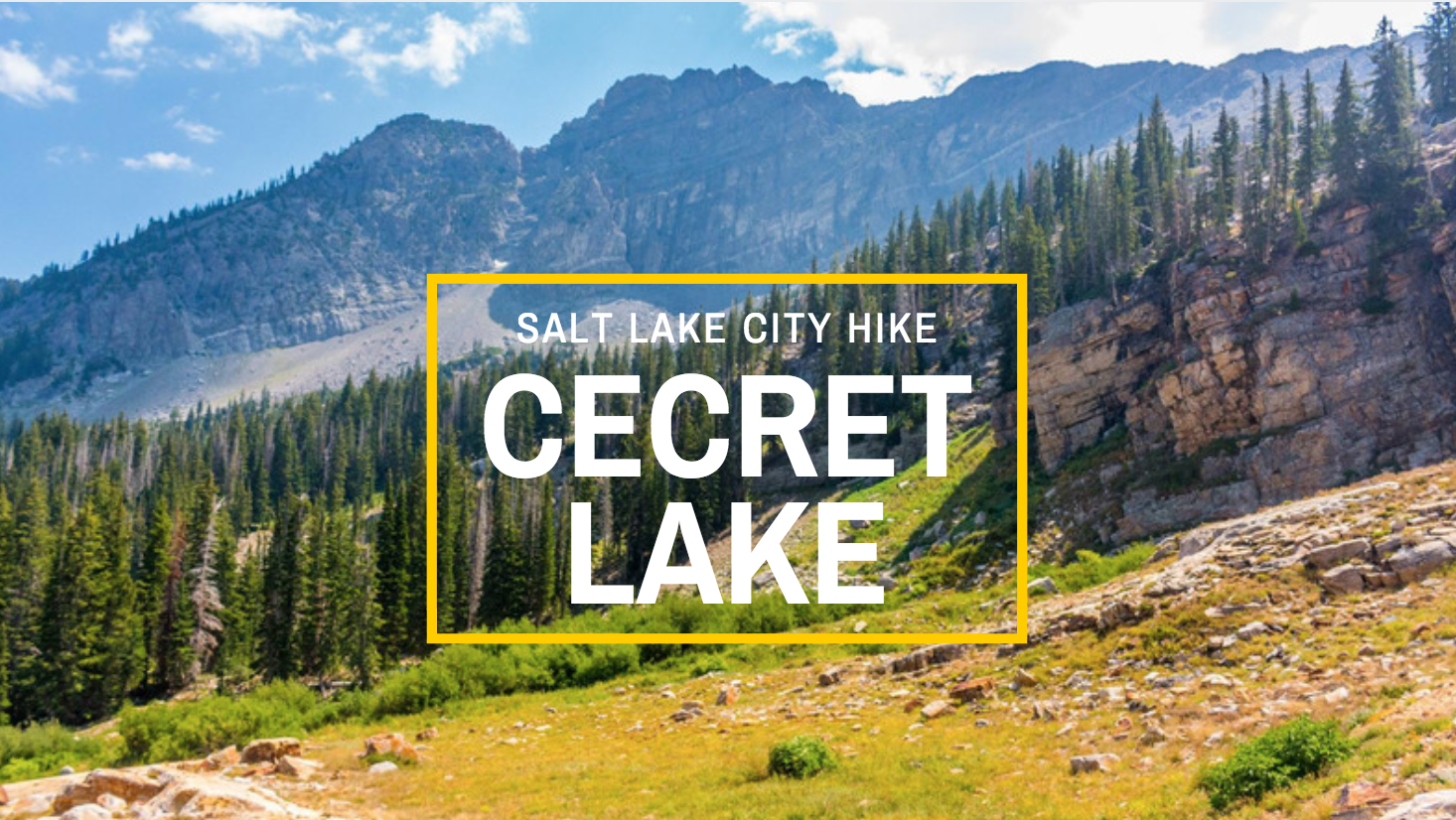
An extremely popular hike in Salt Lake is Cecret Lake (or Secret Lake) up in Little Cottonwood Canyon. If you’re looking for an easy, short but sweet hike up in our wonderful canyons– you should check out Cecret Lake. Beware that due to its “easy” nature, it also is one of the most trafficked hikes in the area. Don’t let the crowds scare you away from this gem of a hike though because during the summer, especially when the wildflowers are in bloom, it’s a Salt Lake treat!
(Source)
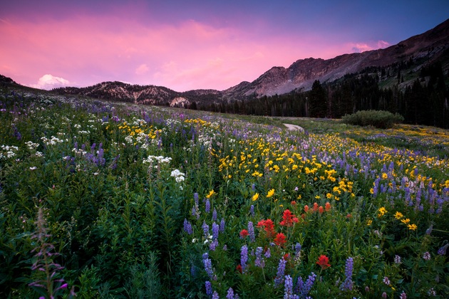
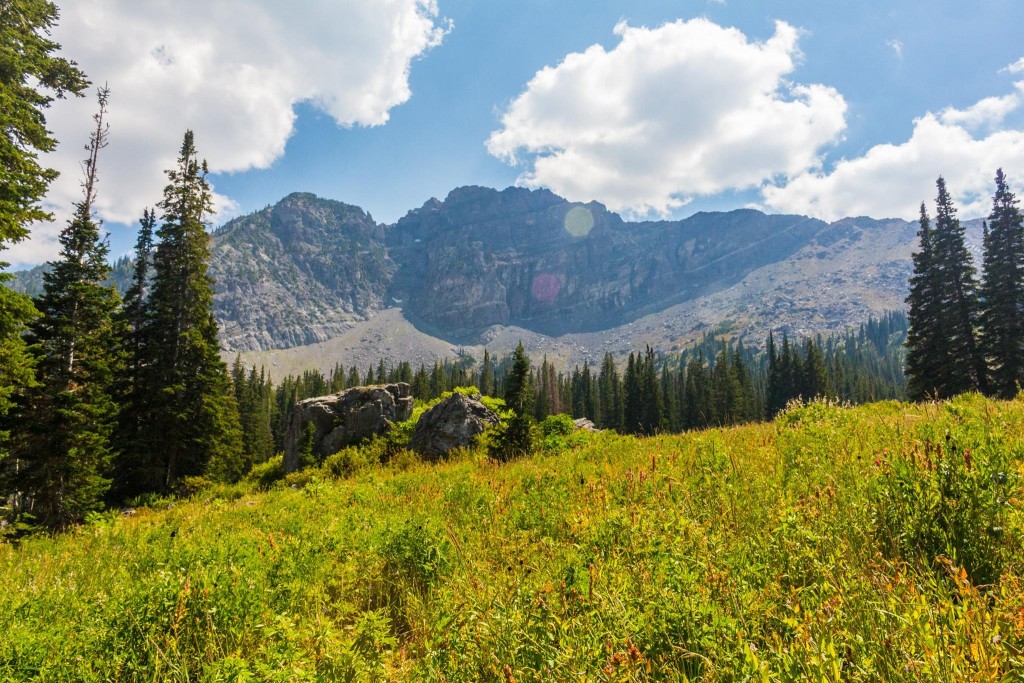
Unfortunately, I don’t have any photos with the flowers in full bloom so this photo is courtesy of The Outbound.
Trail Stats
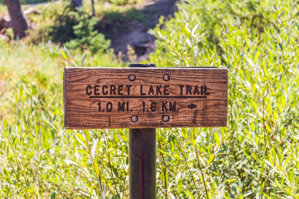
Distance (Roundtrip): 1.7 miles
Elevation Gain: 400 ft
Rating: Easy
Dogs Allowed: No, this is a watershed area
Trailhead Restrooms: Yes
Trail Overview
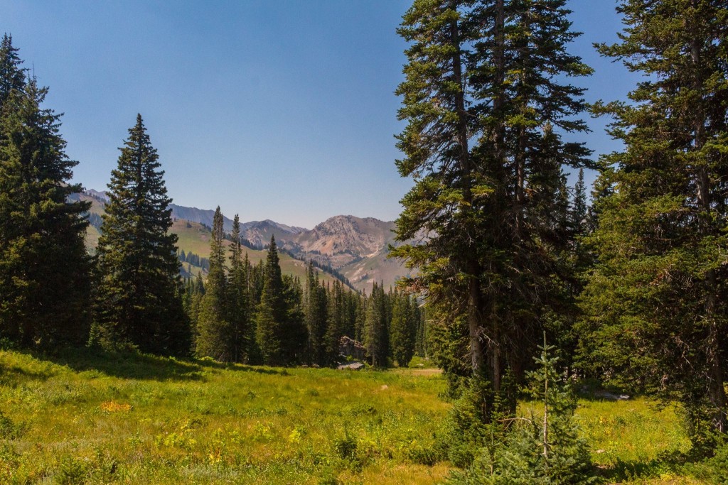
The trail starts out mostly flat with a subtle uphill grade. It winds past the campground and opens up into a beautiful basin where you will find wildflowers during mid-summer if you have the right timing!
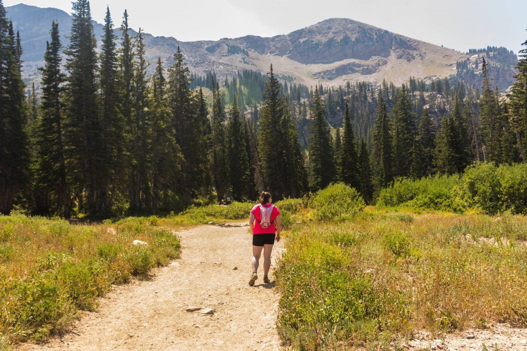
This trail is very popular, especially with families with small children, so don’t expect solitude on this hike.
The view opens up right after you pass the campground so you can look down into the canyon.
This is the trail approaching Devil’s Castle.
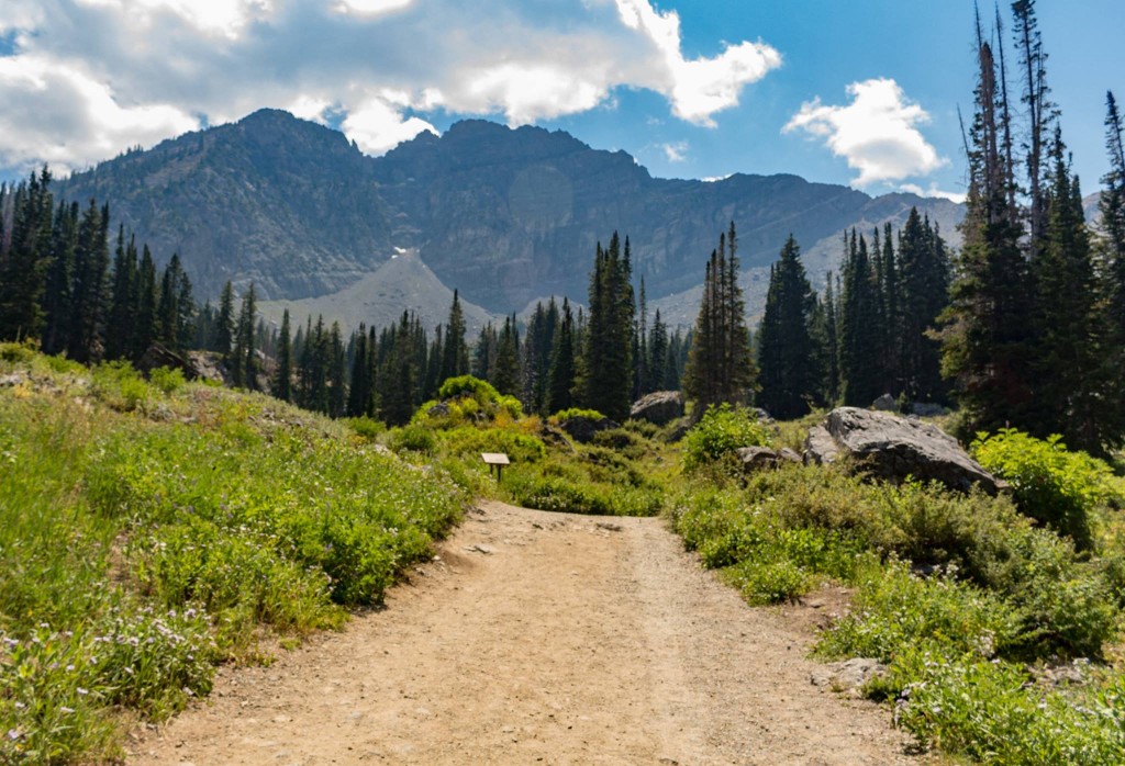
The trail curves past the Devil’s Castle view to continue into the basin.
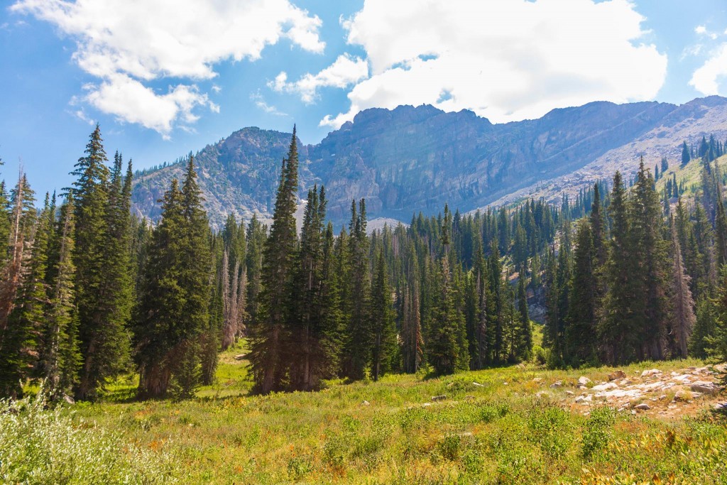
During the height of the wildflower season, usually peaking in mid- to late-July this field is peppered with a variety of red, yellow, purple, and blue flowers!
The trail begins to gain elevation more quickly until you pass the open basin where you are faced with switchbacks. This is the hardest part of the hike, but it’s a short, steep hike to the lake. You won’t be able to see the lake until you’re at the top of the switchback section.
This is the view looking up at the switchbacks. (Below)
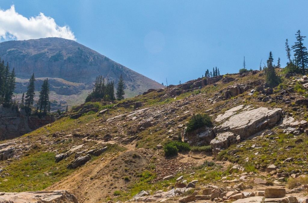
While this is generally known as an “easy” hike, you may find the switchbacks more difficult than you anticipated, but they are over quick. Take your time, and watch your footing on the rocky sections. Small children may need to be carried up this portion.
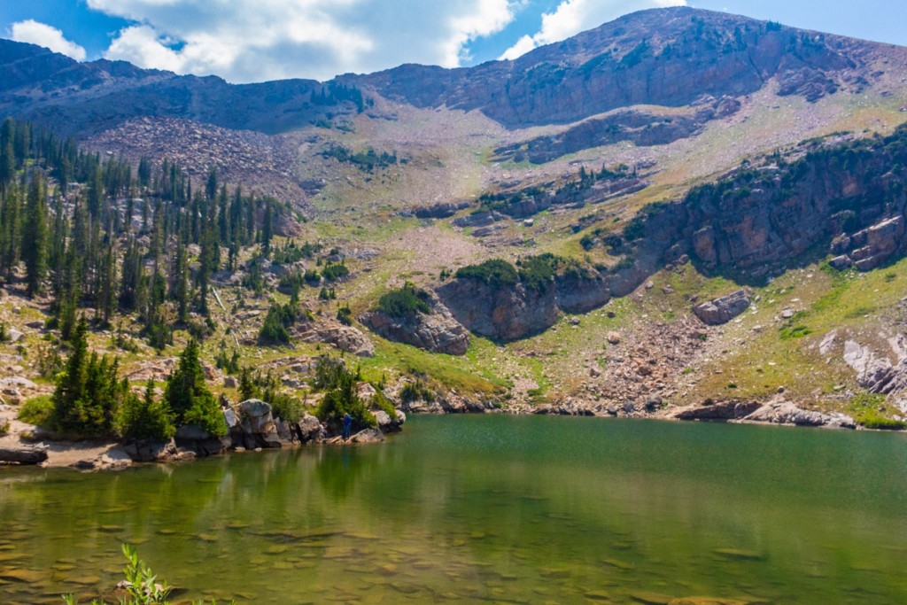
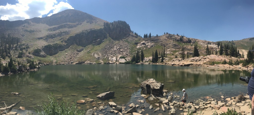
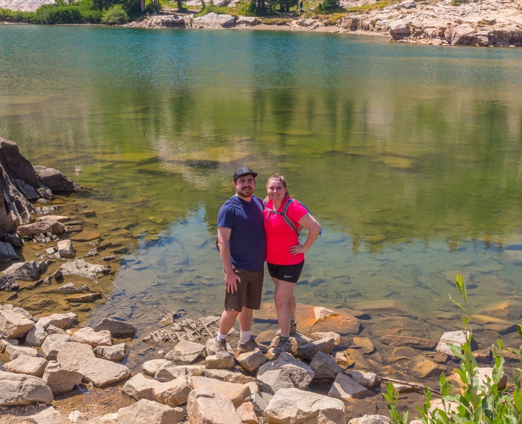
Once you are up to the top, the trail reveals the blue-green alpine lake hidden at the top of this trail.
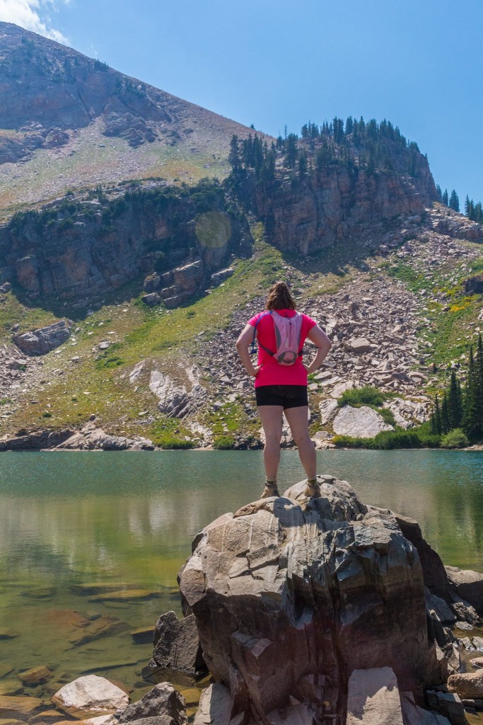
As a note, there is no swimming in the lake allowed since this is a watershed area. There are lots of rocks to relax and have a snack on before you descend on the trail.
If you’re up for more challenge, the trail continues past the lake and up to one of the easier peaks to summit in the Wasatch: Sugarloaf Peak! My friend Katie at Katie Wanders wrote a great post about hiking Sugarloaf Peak. I unfortunately didn’t have time to do the summit on my most recent trip up there, but in the meantime, I suggest heading over to her post for more info about the summit! 🙂
Getting There
From Salt Lake City, take I-15 South and merge onto I-215 Belt Route. Take exit 6 for 6200 South/UT-190 E towards 3000 E. Turn left at 6200 South, and follow signs for Wasatch Blvd. Continue to follow Wasatch Blvd until it becomes UT-210 S/Little Cottonwood Road. Continue up Little Cottonwood Canyon until you reach Alta Ski Resort. Depending on the time of year you hike, the road to continue up the road may or may not be open. If it’s busy summer season, on a weekend, the road will be open but you’ll need to take the shuttle that operates free in LCC. Look for the Cecret (or Secret) Lake trailhead near the Campground.
Alta Shuttle Information
The Town of Alta provides a free shuttle service from the lower Albion parking lot at the bottom of the summer road into the Upper Basin during summer months from 9:30am – 5:30pm. This shuttle is in operation through Labor Day, and possible a weekend or two after that. It runs continuously between the lower lot, the Sunnyside lot and the Cecret Lake Trailhead. You may board at any stop and avoid the driving hassle. The Albion Meadows Trail starts from the lower parking lot and is a wonderful alternative to the sometimes crowded Cecret Lake Trail.
When we drove up there, they had signs saying that the Upper parking lot was full, and that we had to take the shuttle or hike up. They have a little guard booth on the road blocking traffic and giving directions, so you can always ask if you have any questions.
For more information, check out the Town of Alta’s website.