Distance: 2.5 miles, roundtrip
Gain: 416 ft.
Pass: None
Hiked: 4.17.18
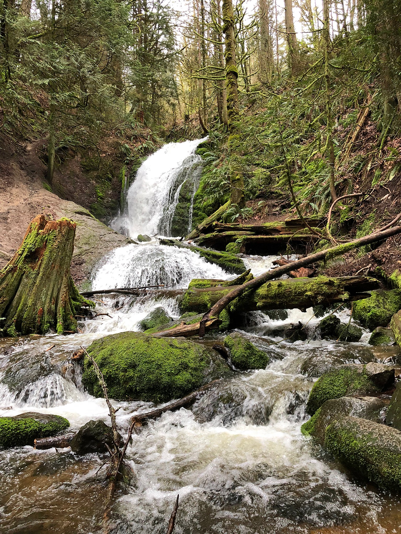
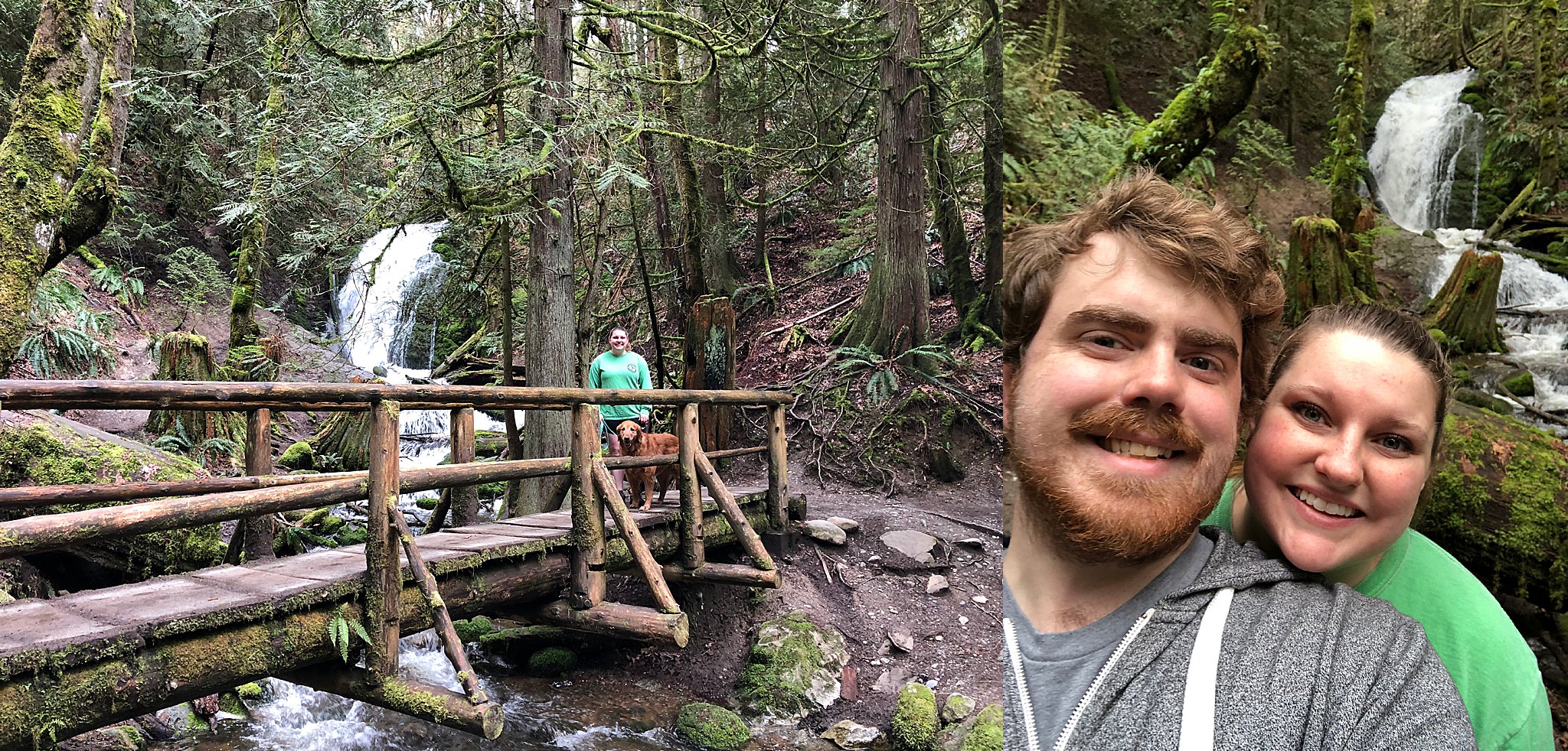
This was a quick after-work hike that we did on a Tuesday. The weather was decent (overcast) so we visited the Cougar Mountain Regional Wildlife Park, a new destination for us. When we got there, there was plenty of parking but I have to say it was quite confusing where we were supposed to go without any prior knowledge. I took a photo of the map and we picked the most logical path based on the trail map.
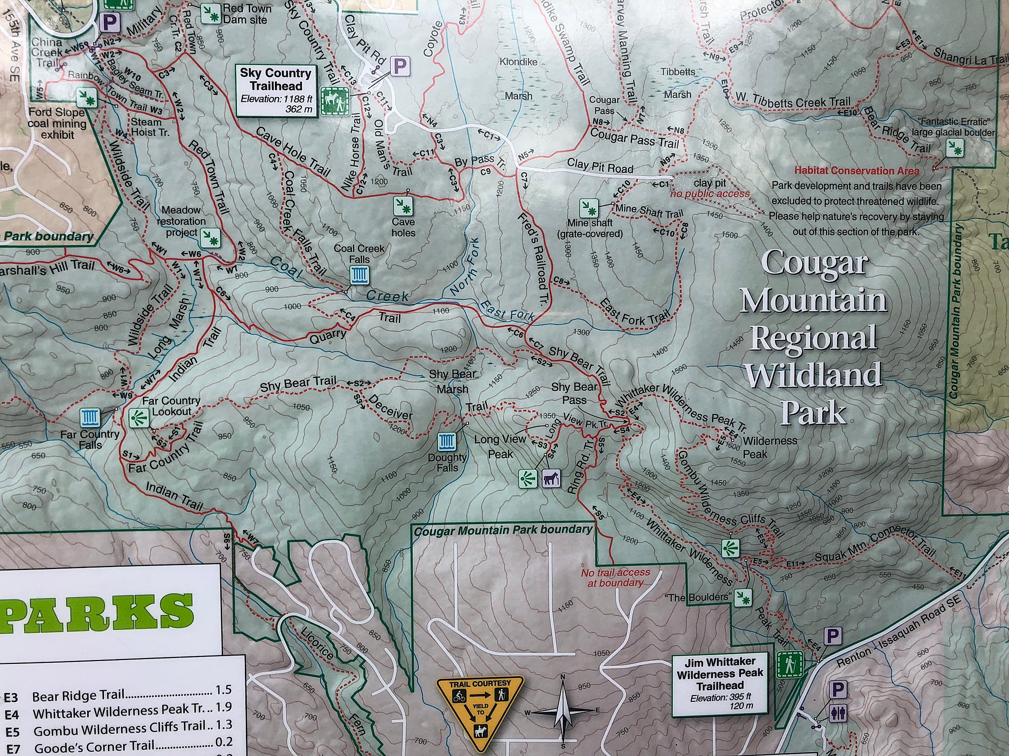
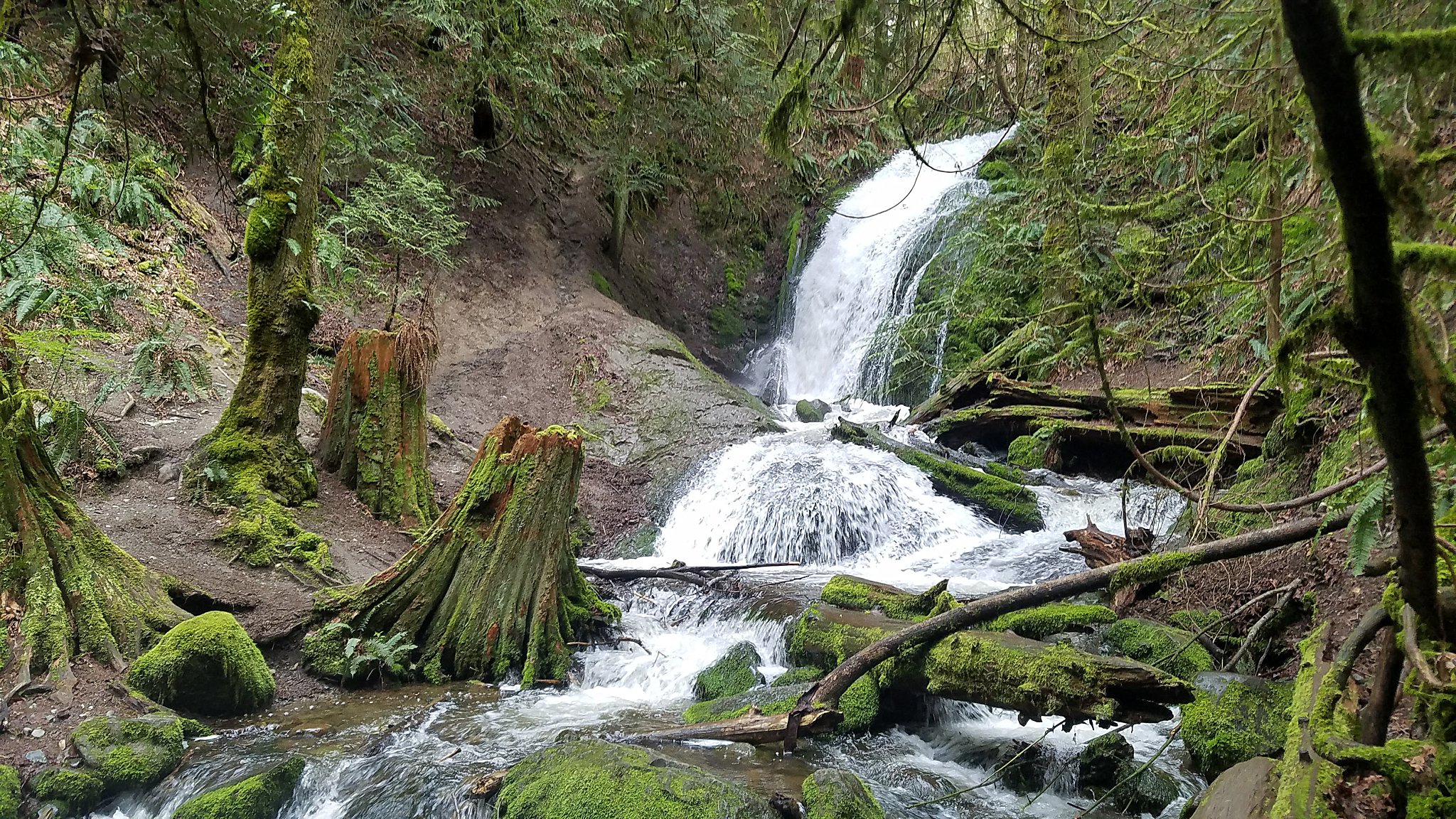
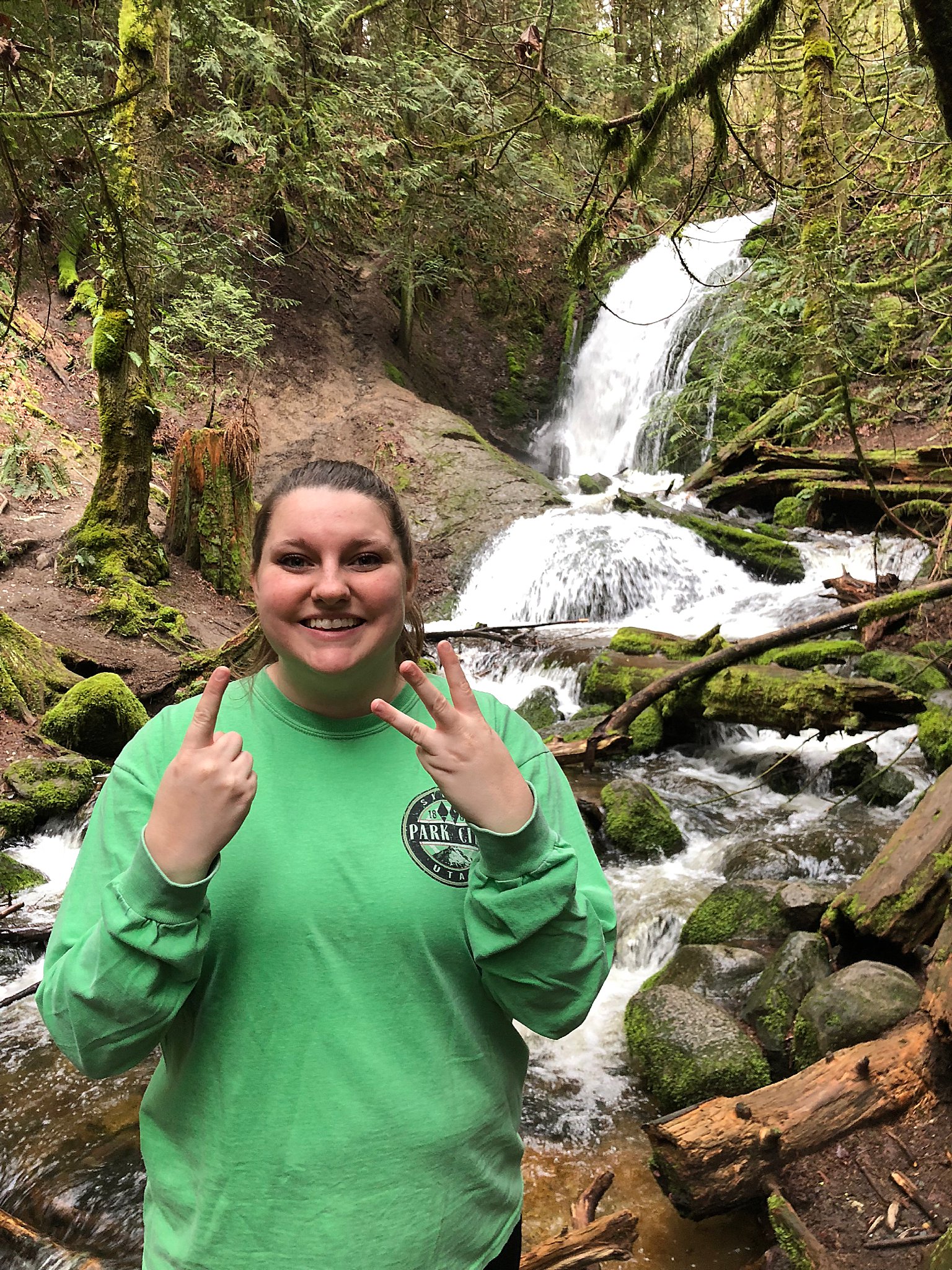
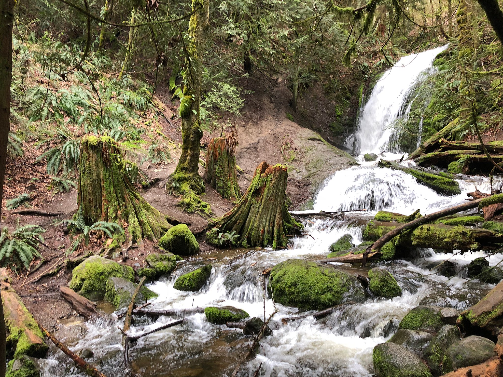
The grade was gentle enough on the way down, but we felt it coming back up from our destination. If we had more time, we would’ve explored the maze of trails in the park.
Driving Directions
From Seattle head east on I-90. Take exit 13, West Lake Sammamish/SE Newport Way, turn right at the end of the exit ramp onto Lakemont Boulevard. After one mile continue straight through the stoplight. The trailhead is on the left (east) side of the road after an additional 1.8 miles along Lakemont Boulevard which turns into Newcastle-Coal Creek Road. The turnoff for the trail is located along a sharp bend in the road. There is a large blue King County sign that is hard to miss at the entrance.