Lake Blanche, we meet again. Finally!
Let me provide a little backstory… Last summer, my first summer in Salt Lake City, I was still pretty new to the area and hiking (let’s be honest, Florida doesn’t have many hiking opportunities). I had heard the locals talk about this Lake Blanche hike as a favorite, and I had to try it! While I did research the hike, the concept of elevation gain escaped me. I didn’t really understand what it felt like to gain 500 ft in a hike compared to 2000 ft. Brighton had rain checked me on a hike of my choice, and boy was he in for a surprise! I picked Lake Blanche, and let’s just say that we were woefully underprepared. First, we did not have enough water. Period. We also hadn’t eaten much of anything, and I had 1 chewy bar in my bag. And it was blazing hot! June in Salt Lake City is nothing to mess with!
This is what it looked like early June 2014.

Long story short, we made it to the top, but just barely (as the Utahns would say–that’s a post for another day)! The views were incredible and I vowed that I would make it up there again soon. It’s easily one of my favorite spots in the SLC Valley.
Fast forward a year to present day! Wooosh.
We made it to Lake Blanche again. This time was easier the second time around. First, we had triple the amount of water with us, adequate snacks, more experience hiking, and a gauge of what to expect.
The Specs:
Total Distance: 6-7 miles (Round Trip)
Total Elevation Gain: 2750 ft
Dog Friendly: No, this is a watershed area
Trailhead Bathrooms: Yes
Difficulty: Moderate-Strenuous
Getting There:
Take I-215 South (From SLC) and exit on 6200 S. Turn left off the ramp onto UT-190. Follow signs for Big/Little Cottonwood Canyons. At the intersection of UT-190 and Ft. Union, turn left into the mouth of Big Cottonwood Canyon. Drive about 4 miles up the canyon, and look for the Mill B South Signs. It’ll be a big S-Curve. If you’re going on a summer weekend, you’ll probably see lots of cars parked on the side of the road. The trailhead is in this parking lot.
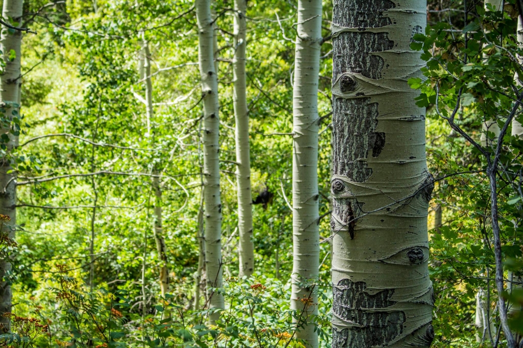
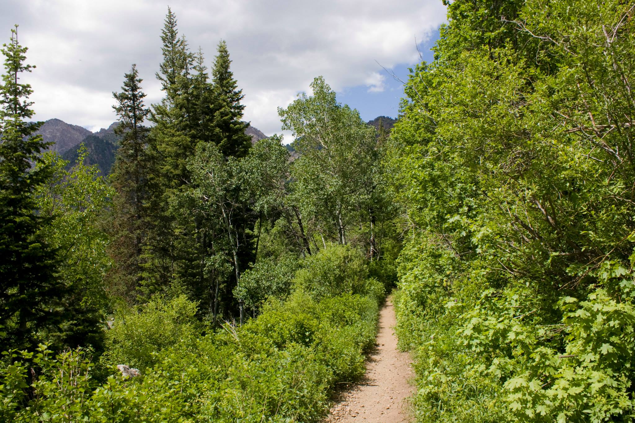
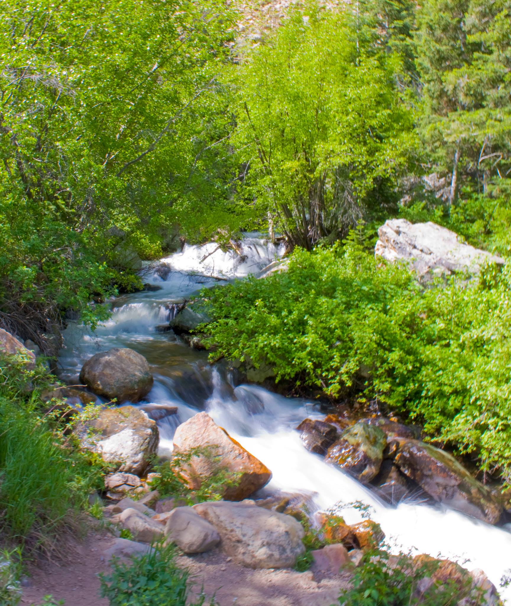
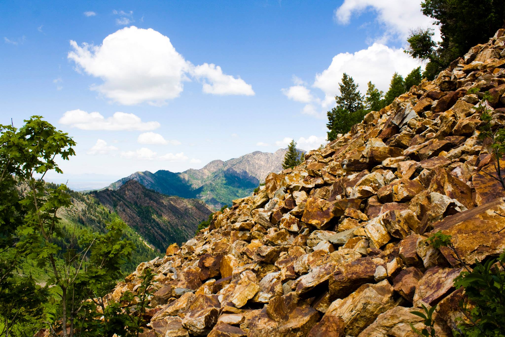
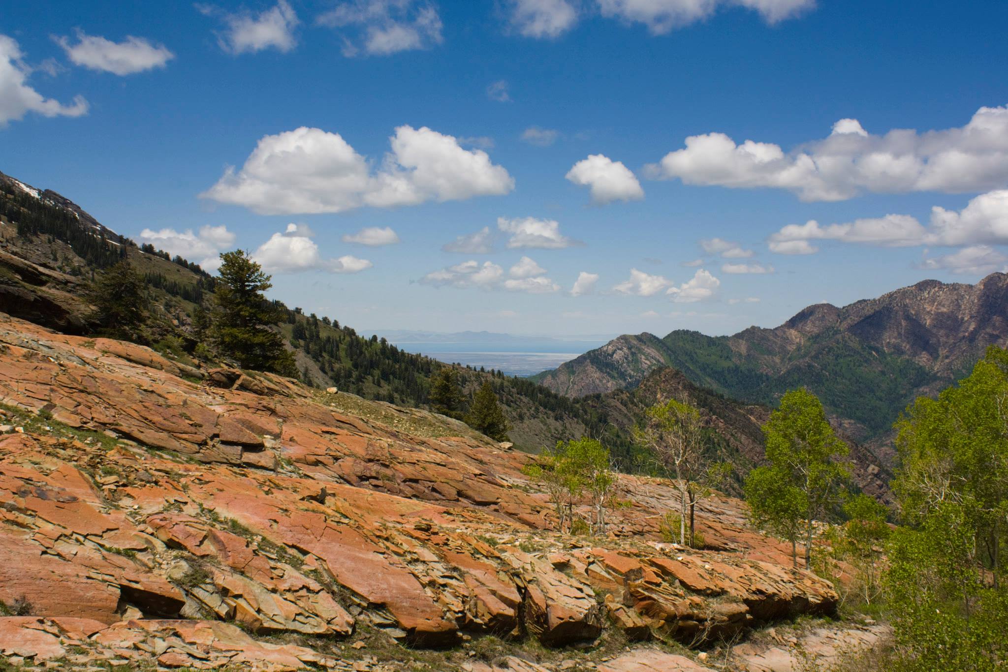
This trail offers a wide variety of terrain for you to traverse. It starts out rocky and following a stream. In a small part of the trail, you’re walking on (not deep) sand! As it winds around, it branches off from the stream and into a couple aspen groves. You have some great views down Big Cottonwood Canyon, as well as up to where you’re heading. Looking up at the vast forest and gigantic granite walls makes you really appreciate this trail’s beauty. The trail is a steady climb uphill with a couple tougher and steeper portions. Eventually, you will be faced with a field of reddish boulders and may get a little confused where the trail goes. Once you hit the boulders, look up and to the right and the trail will continue. Do not cross the boulders! You are about 75% there at this point. Keep going…
Another factor to be aware of for this hike is the potential of wildlife on or near the trail. We saw two moose grazing not too far from the trail. Hikers on their way down let us know that they were there. Of course, we attempted to get pictures but they only showed us their butts. Guess the moose are camera-shy!
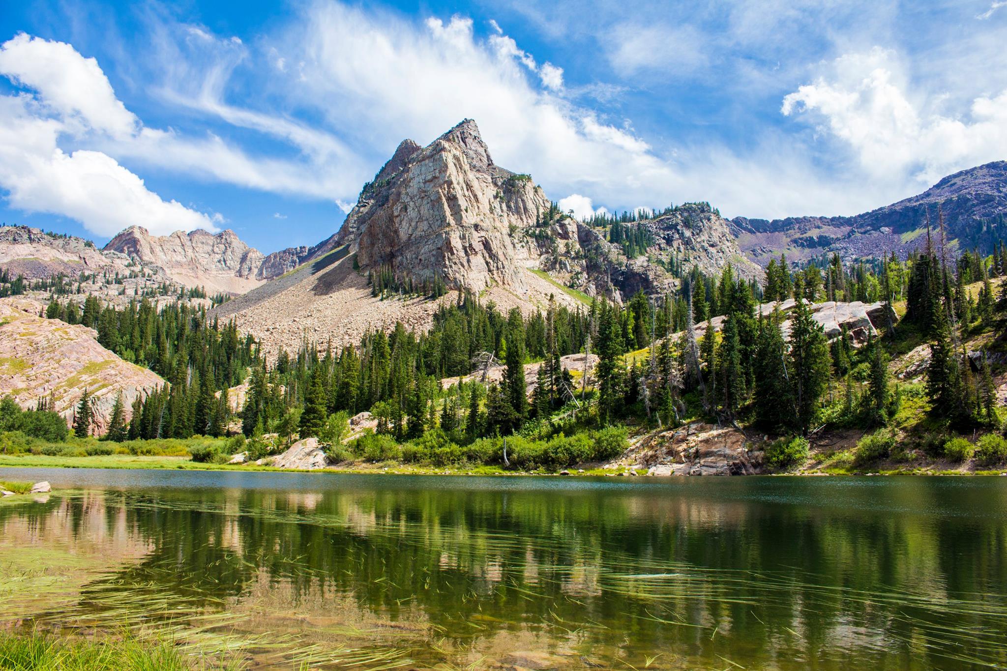
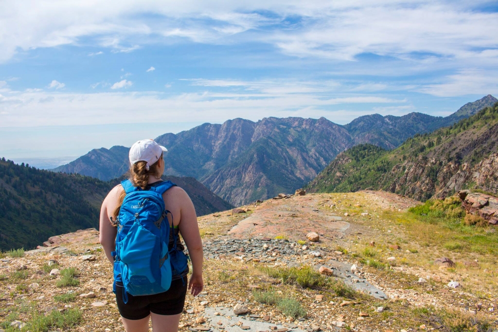
Once the trail opens up onto this huge rock slab and continues upward, you are just about at the edge of the lake. You’ll see a man-made rock wall that will signal your arrival.
This hike has it all! Alpine lakes, gorgeous views of the lakes and Sundial Peak, grazing wildlife, butt-kicking challenge, and of course other hikers… Being up there looking down into the valley and viewing the canyons and mountains overlapping just is so serene.
There are two other lakes along this trail– Lillian and Florence. I haven’t had the energy yet to continue to these, and for now, my heart is content with Blanche. #truelove 🙂
Just kidding. But really, it’s awe inspiring up there. Go check it out!