Distance: 7.6 miles, roundtrip
Gain: 2240 ft.
Pass: None
Hiked 6.24.18
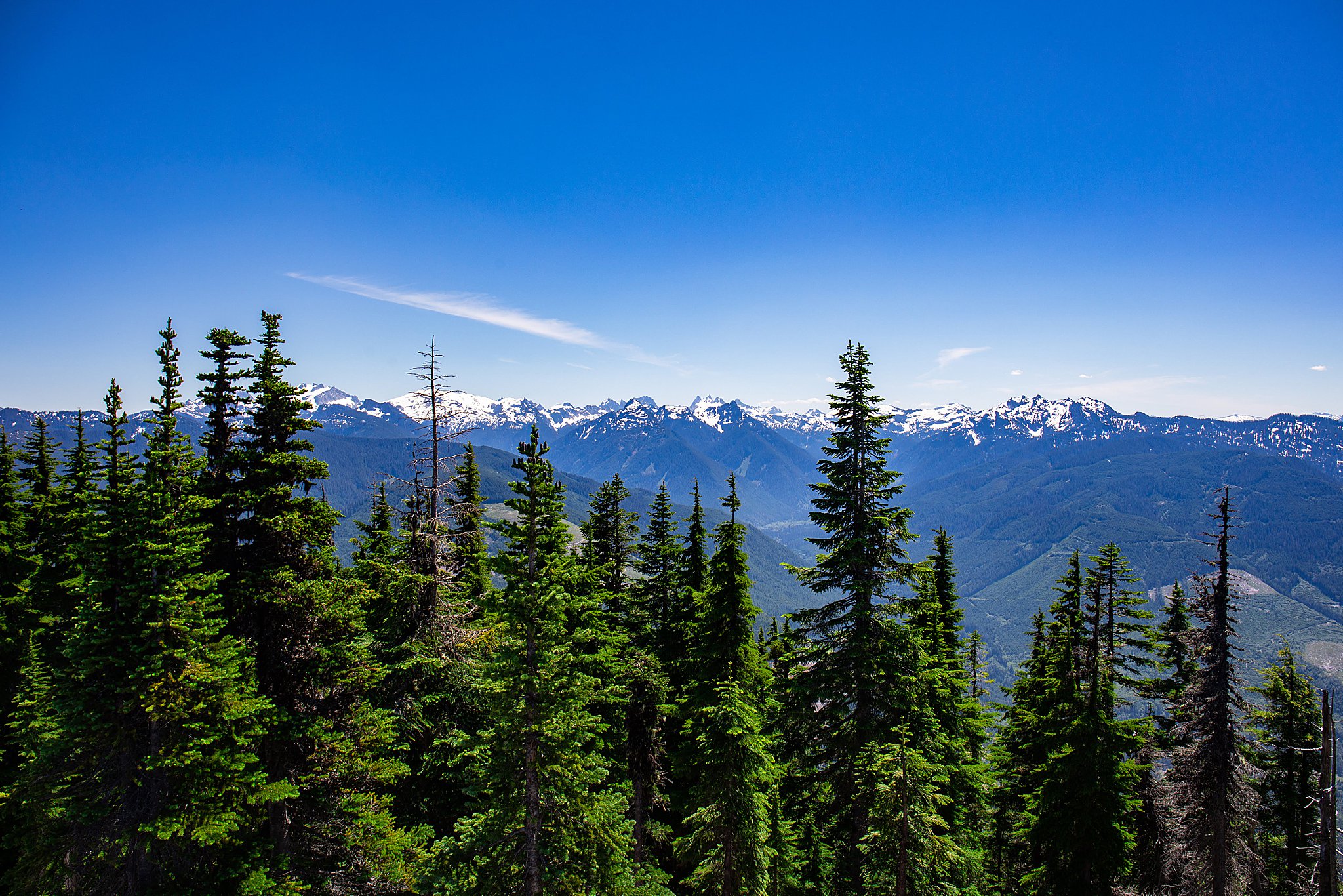
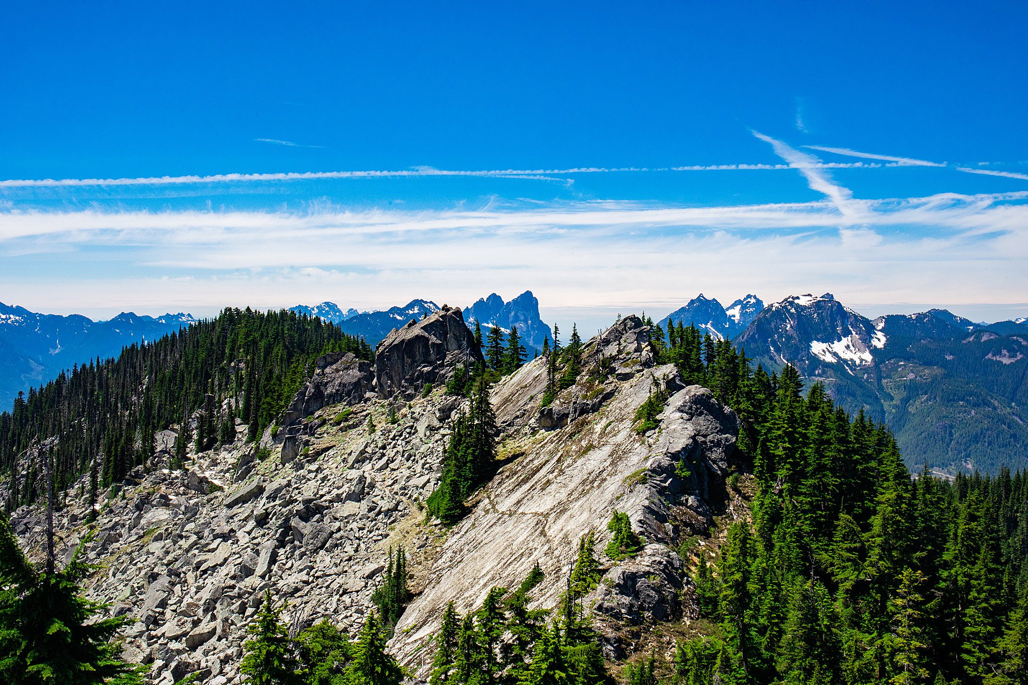
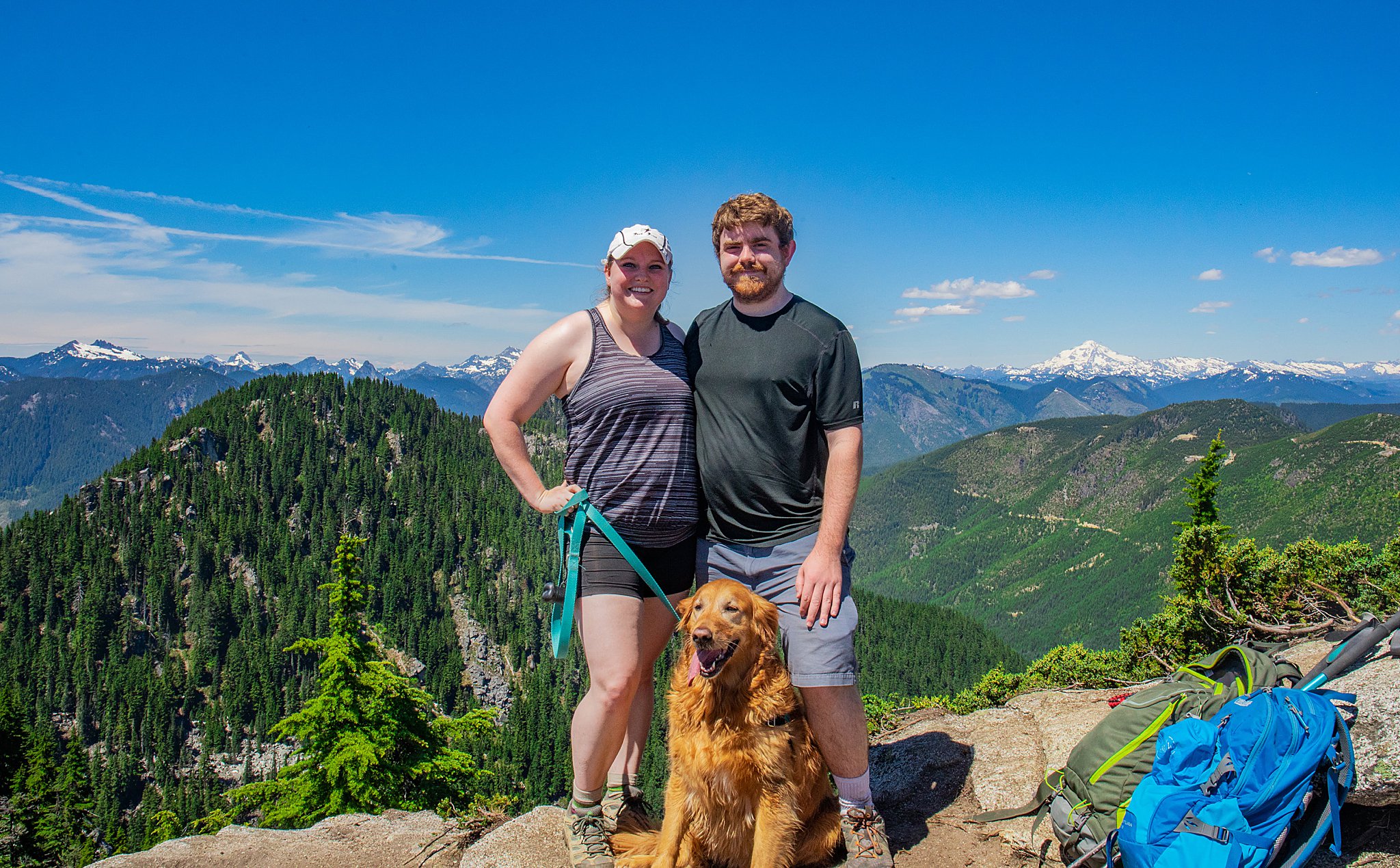
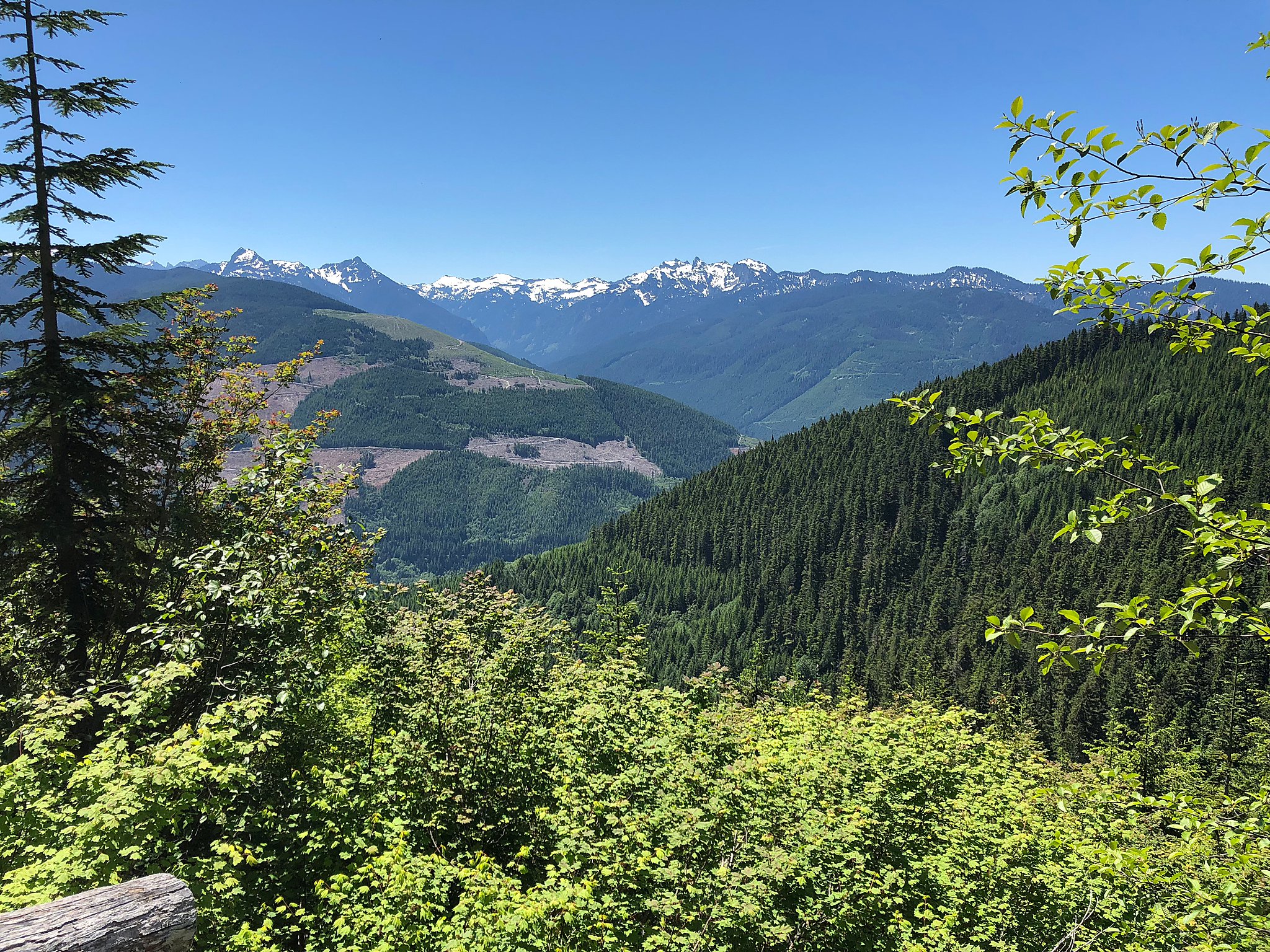
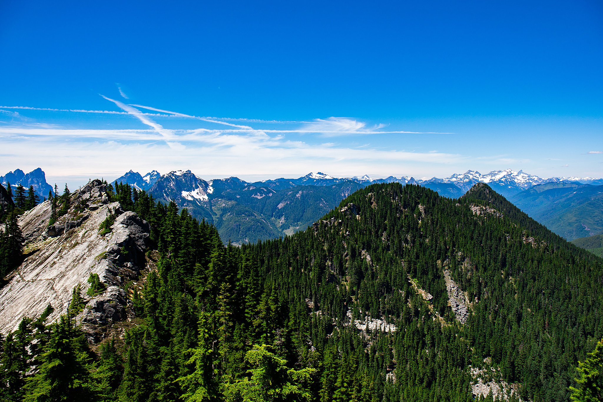
I think my tagline should be “will hike for views” because the only reason I picked this hike was for the 360 degree views of the Cascades from the top. I mean, look at this view! So. Many. Mountains. 
We got a late start from Seattle area, arrived at the trailhead by 11:30am. There were cars lining up along the road out of the parking lot, but nothing like most busy trailheads.
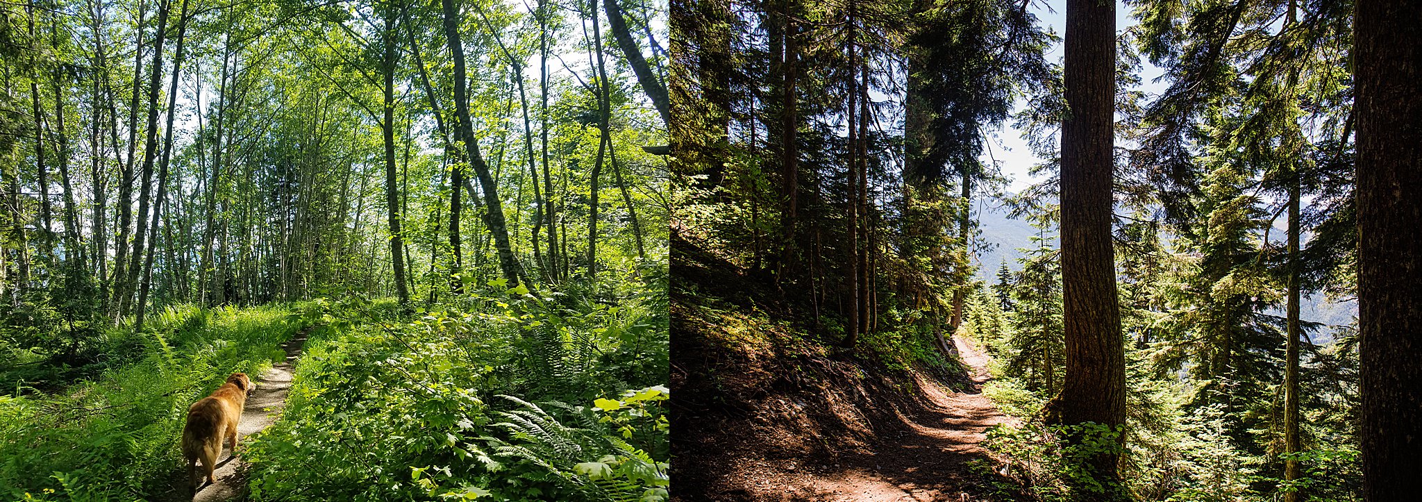
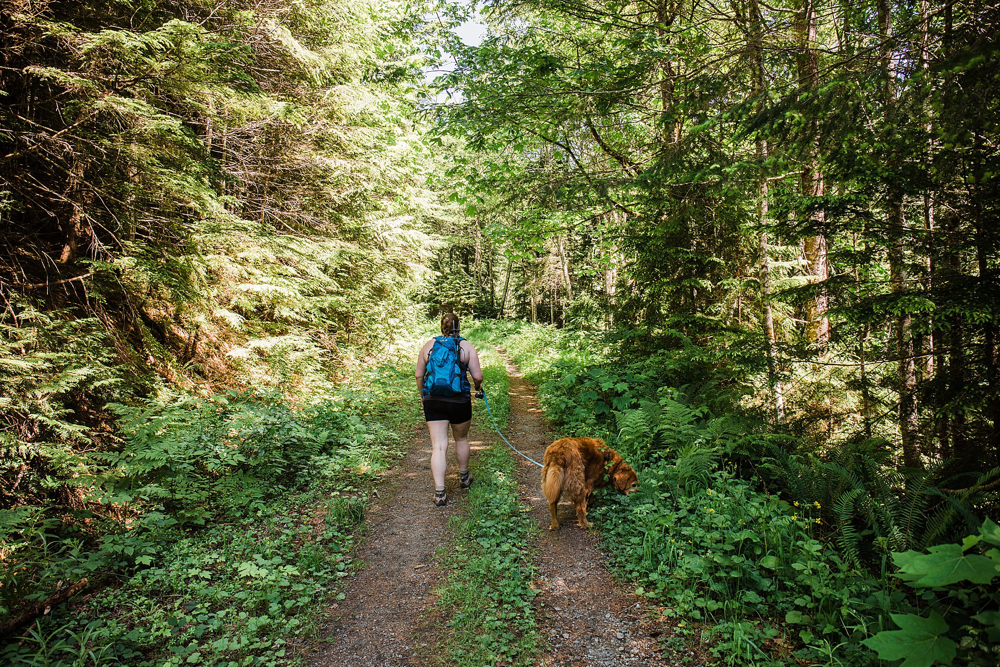
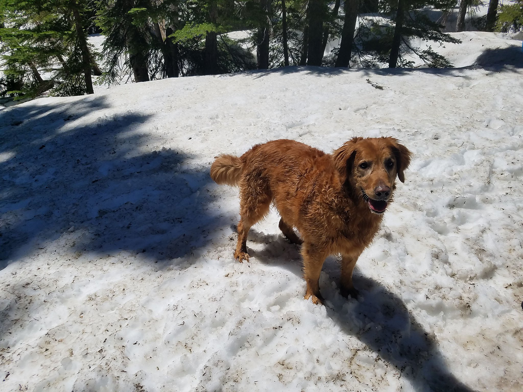
The hike itself started out extremely warm (I think it was in the 80-90s). The forested road had a gentle grade, but with the heat (and heavy packs) it was a little more challenging than I had expected. As described in the trail description, you soon enter a forested area (where it cools down significantly). There were a couple trees to climb over, and a couple small snowfields to cross. We woke spikes for the longest one, only because we prefer extra traction, but they weren’t necessary at all. Koda enjoyed rolling in the snow in June, a rare treat!
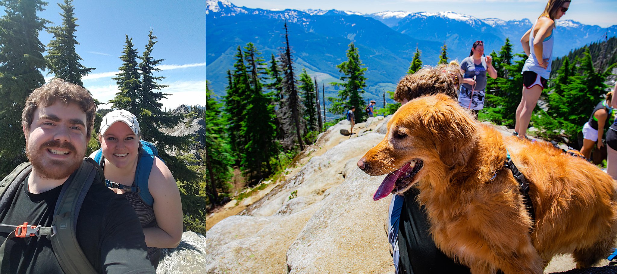
When we arrived at the top, we were rewarded with a stunning view of the mountains! An older couple who had been hiking for 25 years said this was one of the best views they’d seen in Washington. We enjoyed it and ate lunch on the summit for about 30 minutes.

Driving Directions
Take Highway 2 to Skykomish. 1.9 miles after passing the ranger station, take a left turn on FR 6066 (a sign indicates this road). When you see the sign, immediately slow down and prepare to turn–the turn comes up very quickly. There is a fork 1.8 miles up FR 6066. Bear right, uphill. It will be 6.6 miles total to the trailhead. This hike is not in older guidebooks or maps. The road is in relatively good condition–dirt and gravel, with some potholes, and generally suitable for sedans. When the road is wet, don’t make your turns too tight; the inside curve at switchbacks can be deep mush. There is a toilet available at trailhead.