Distance: 6.1 miles, roundtrip
Elevation Gain: 1300 feet
Pass: Northwest Forest Pass
Hiked: 7.29.18
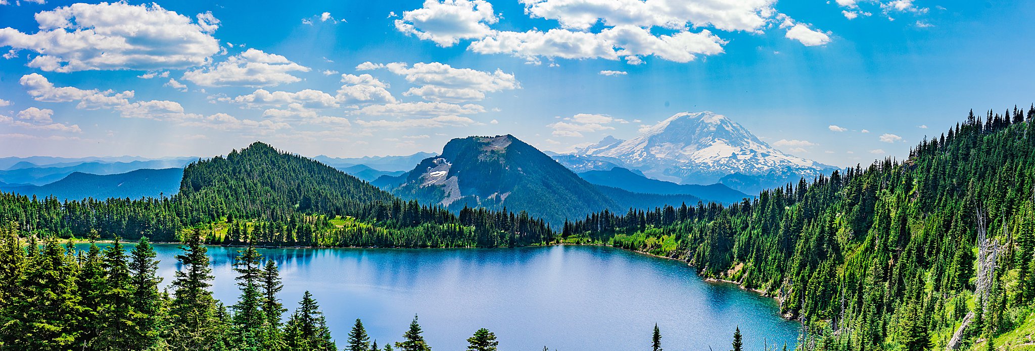
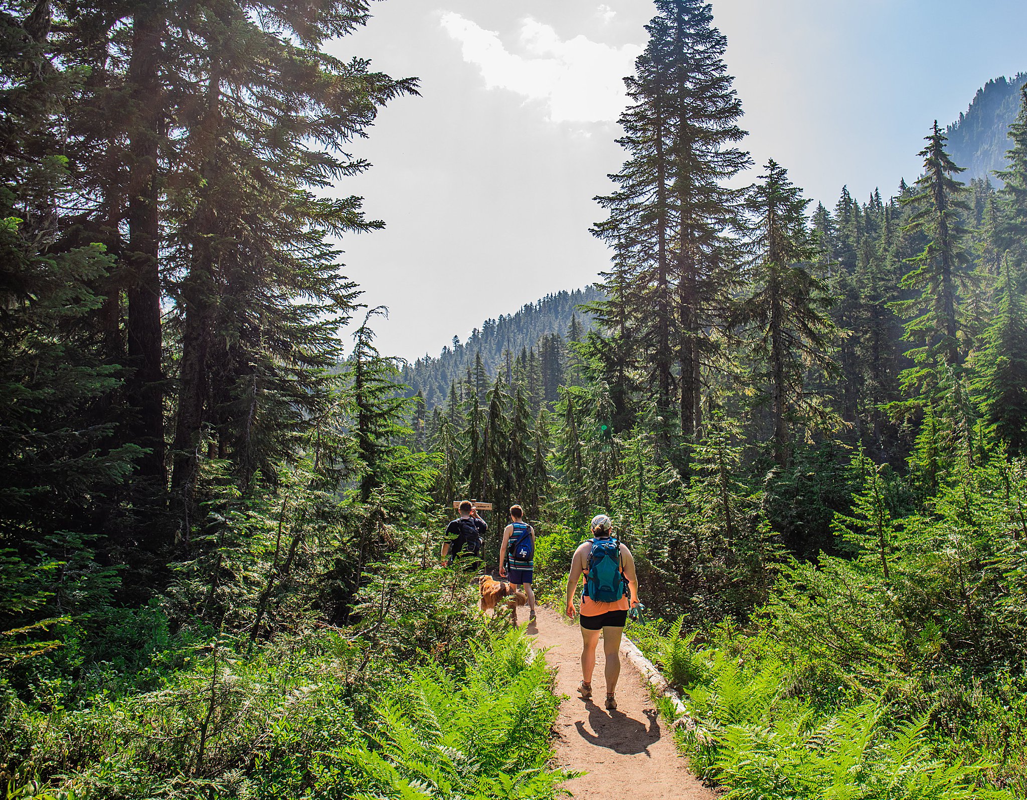
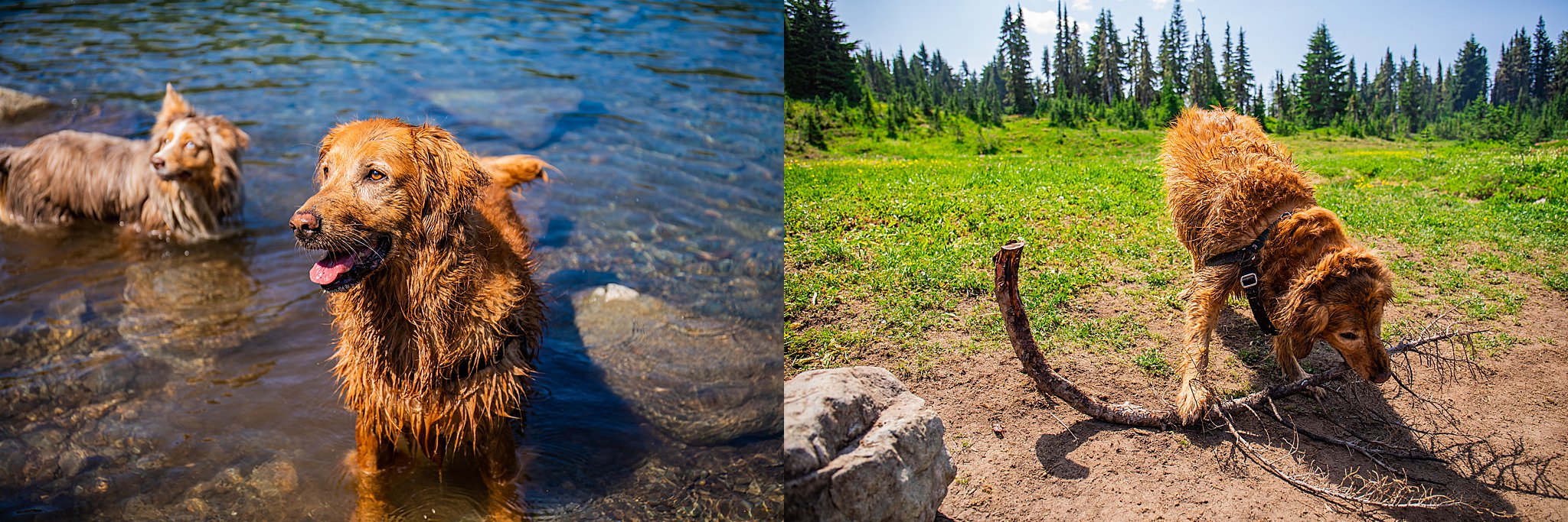
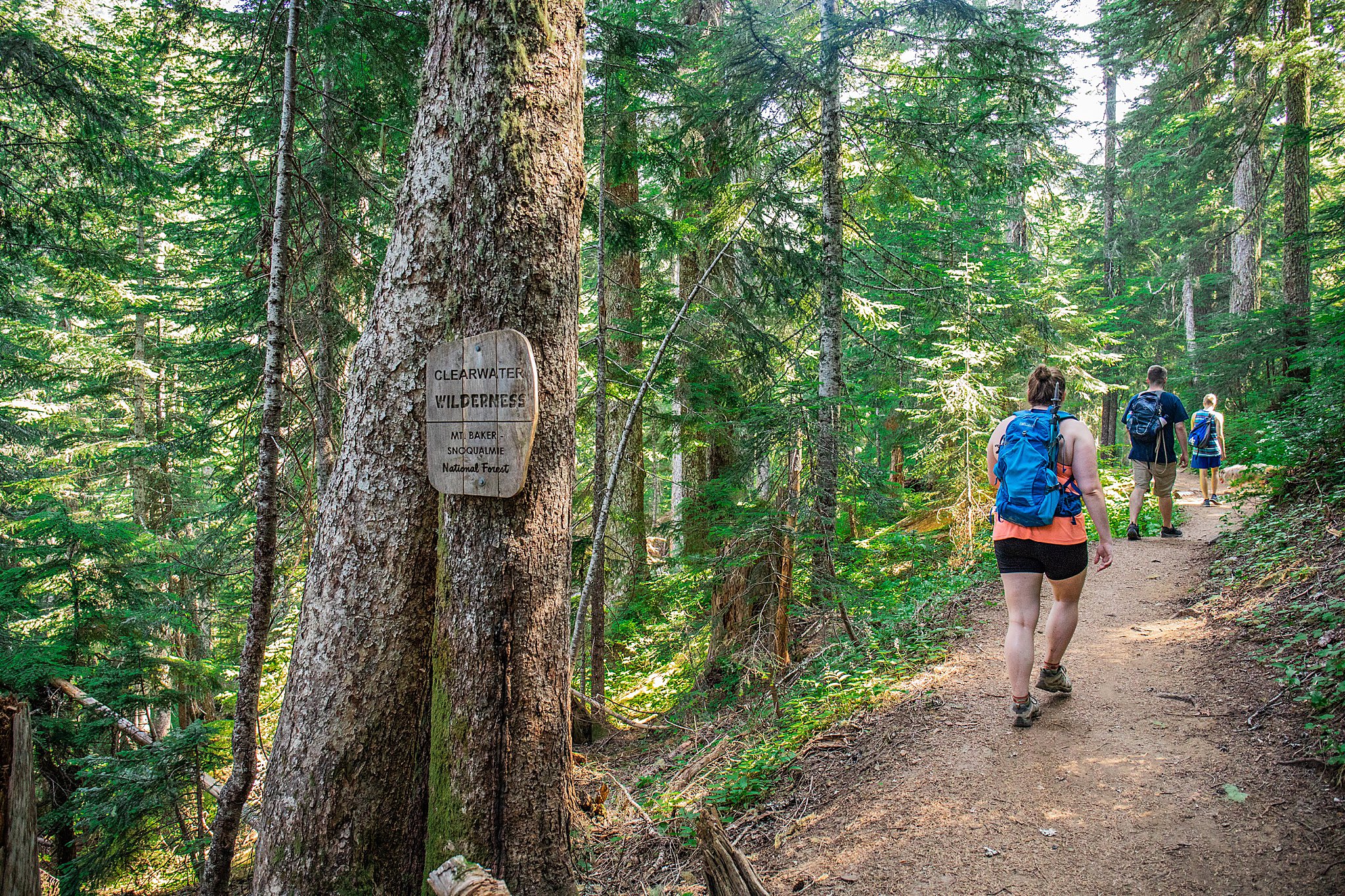
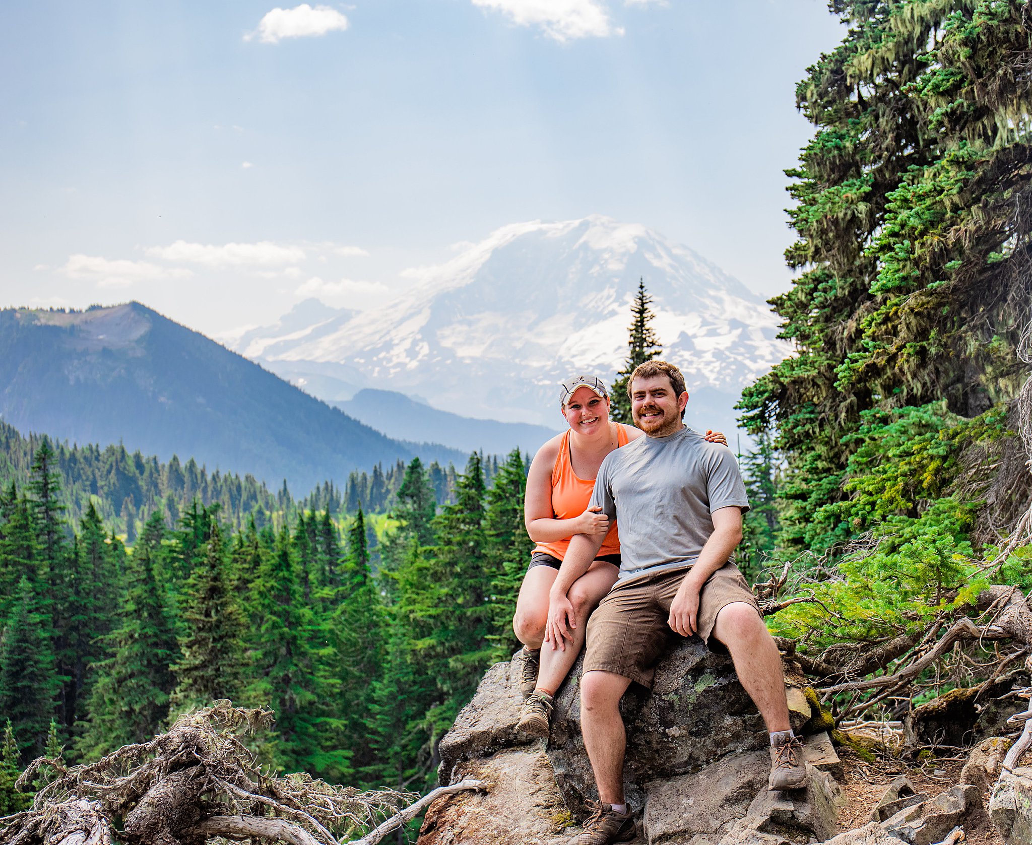
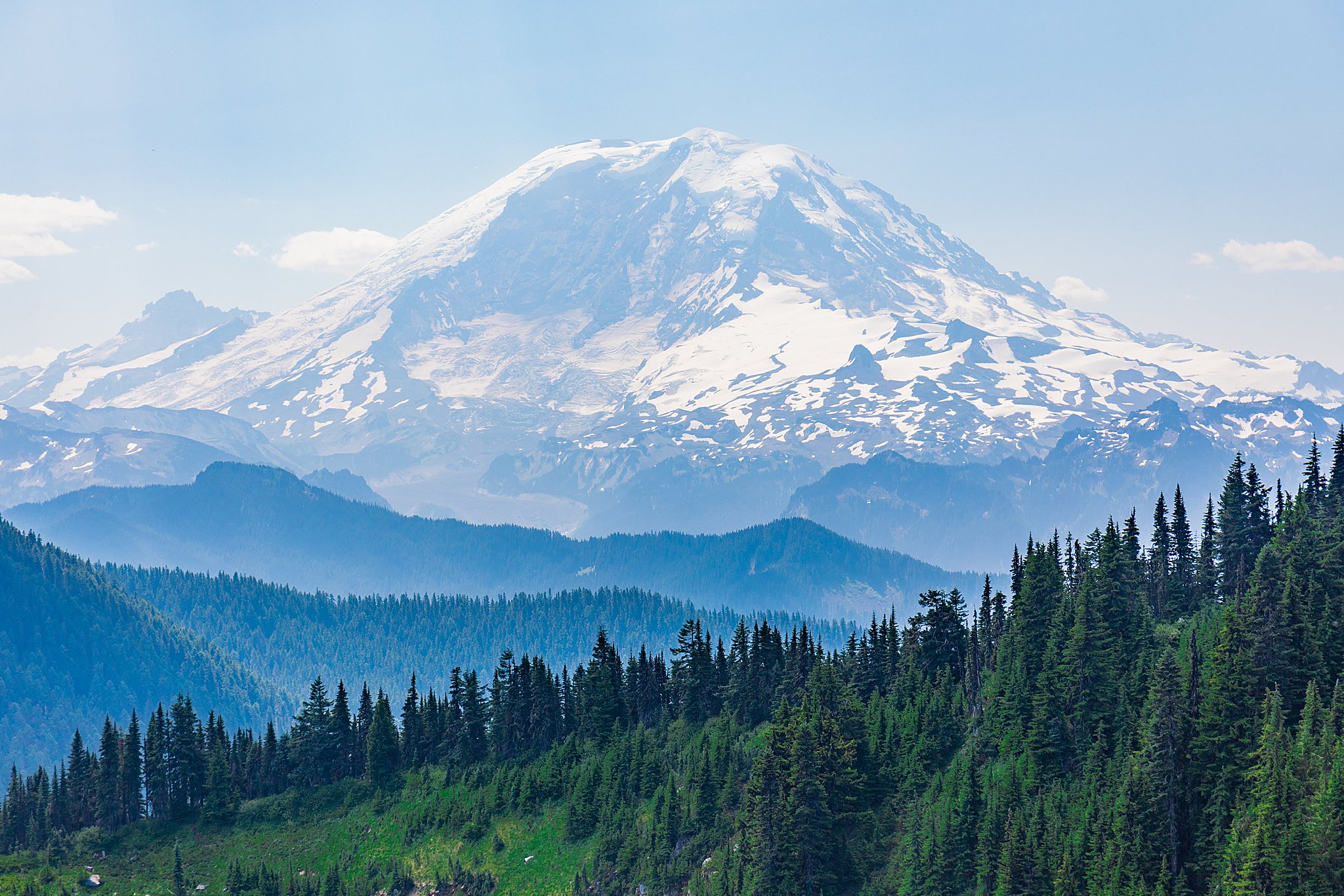
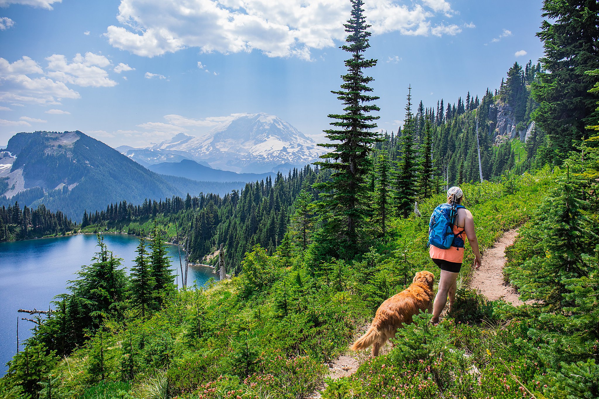
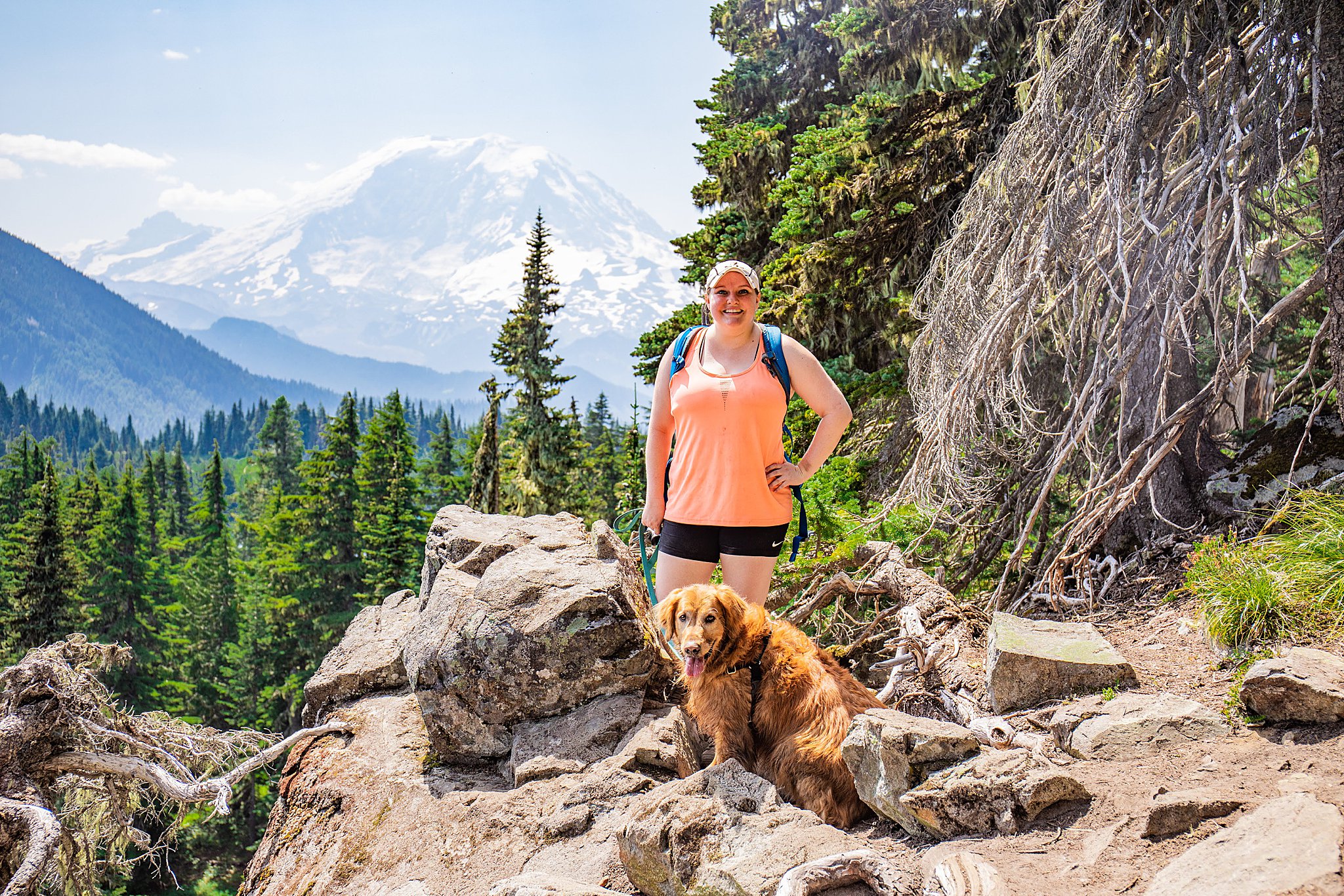
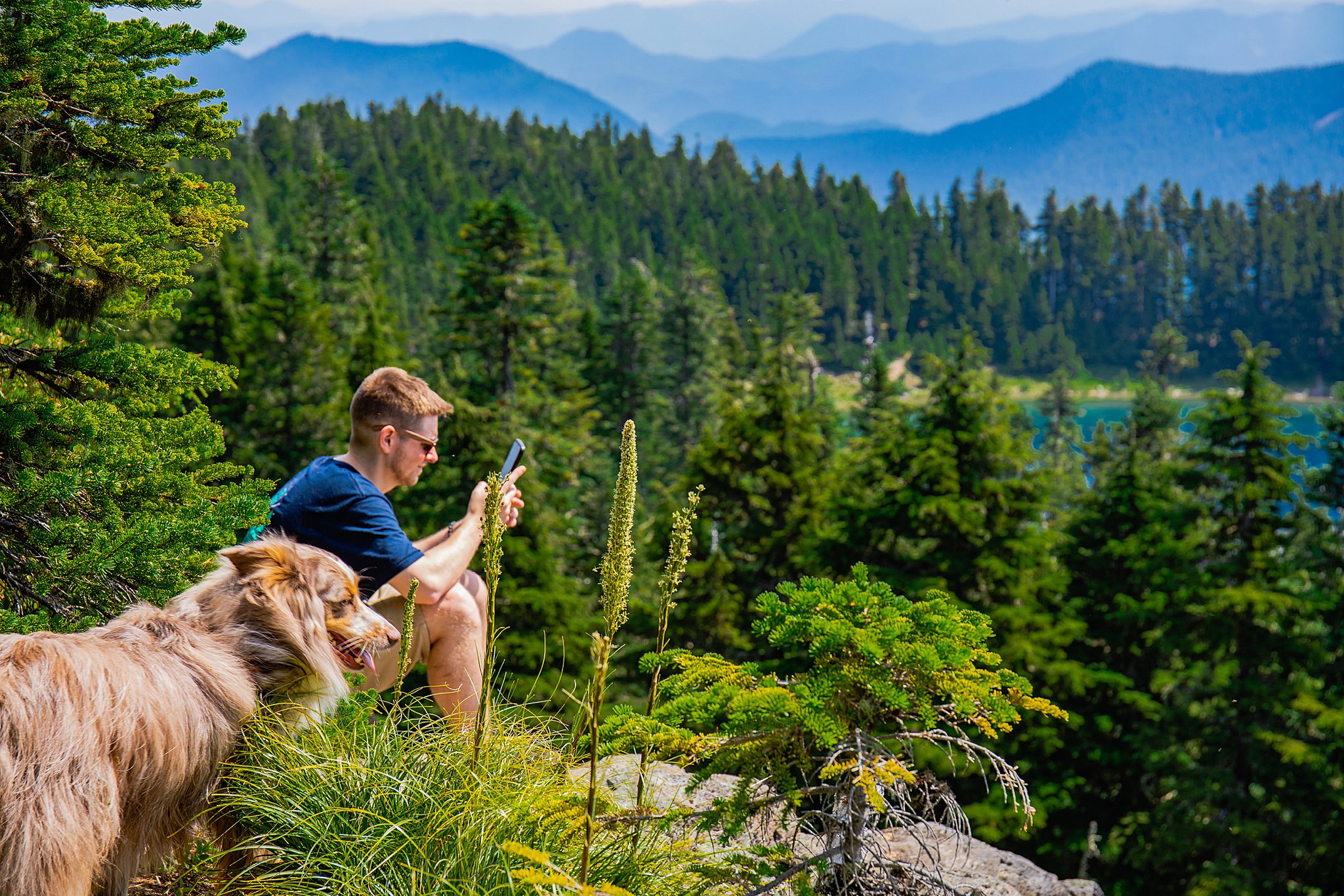
The summer hiking season is in full swing! After a break last weekend while Brighton and I shot a wedding, we were back at the hiking challenge. Today, we were joined by Brighton’s friends from work, Tyler & his friend John, which was a fun change of pace from our typical trio of us + Koda. Even Koda had a buddy—Murphy! Waking up early, driving for over 30 minutes up a very rugged forest road, and all the bug bites were worth it for the view we had from the top! All I can say is: the mountain was out!
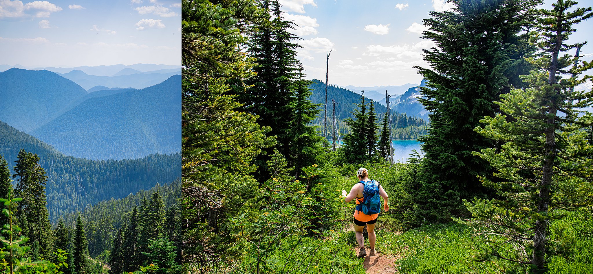
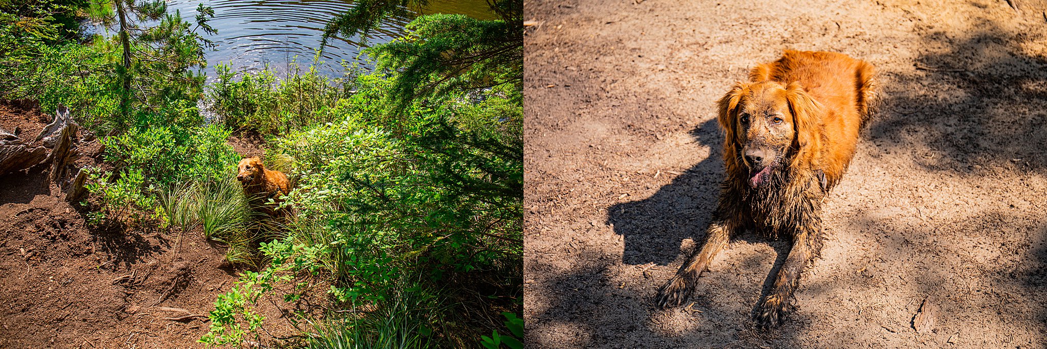
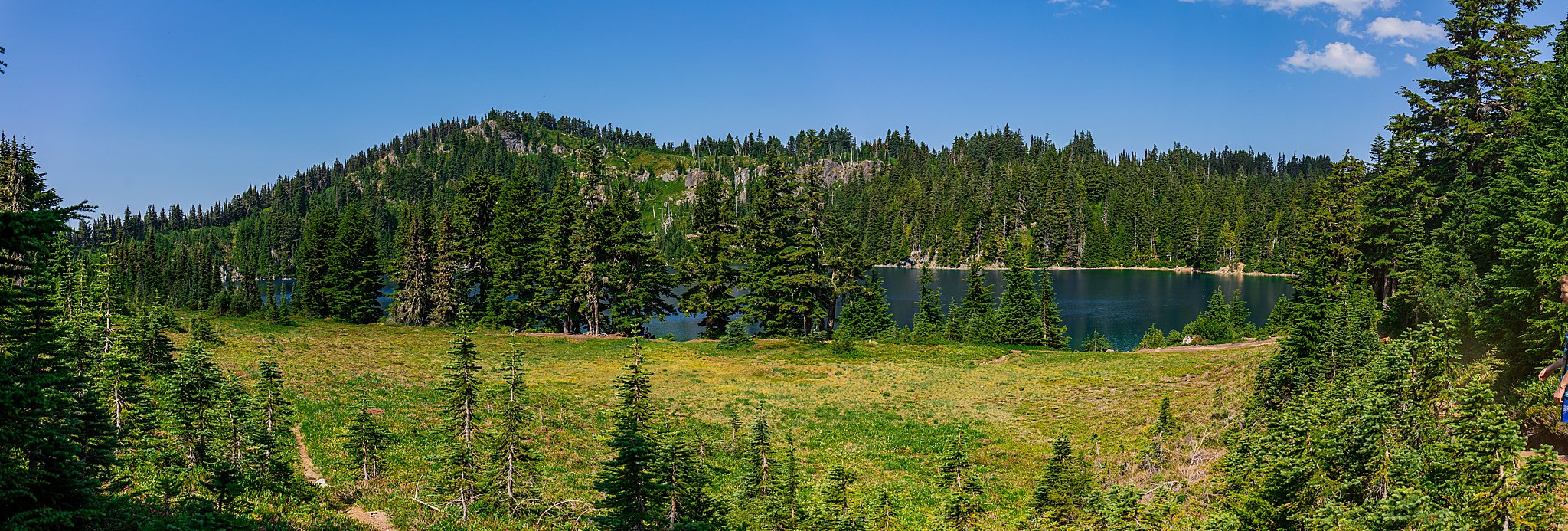
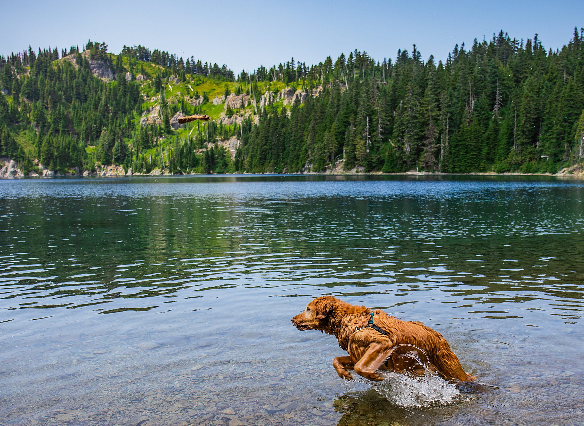
The trail is fairly even and level throughout. The only main annoyance were the nasty mosquitos. Koda enjoyed running into an extremely muddy pond and covering herself in mud from the belly-down. The view we came to was the lake initially, but pushed up higher seeking out the views of Mount Rainier. We were rewarded with a stunning blue sky and fluffy white clouds providing some shade occasionally. This hike will be on my must-repeat list every summer.
Driving Directions
From Enumclaw drive west on State Route 410 (Chinook Pass Highway) to SR 165. Proceed on SR 165 to the Carbon River Road/Mowich Lake Highway junction. Turn left onto Carbon River Road and follow it to Cayada Creek Road (Forest Road 7810), just before the national park entrance. Turn left (north) and drive about 6.8 miles to the trailhead at the end of FR 7810. The final push to the trailhead is a very rough road. It’s best to have a high-clearance car if you are hoping to get all the way to the trailhead.