Distance: 1.5 miles, roundtrip
Gain: 200 ft.
Pass: Makah Recreation Pass
Hiked 7.1.18
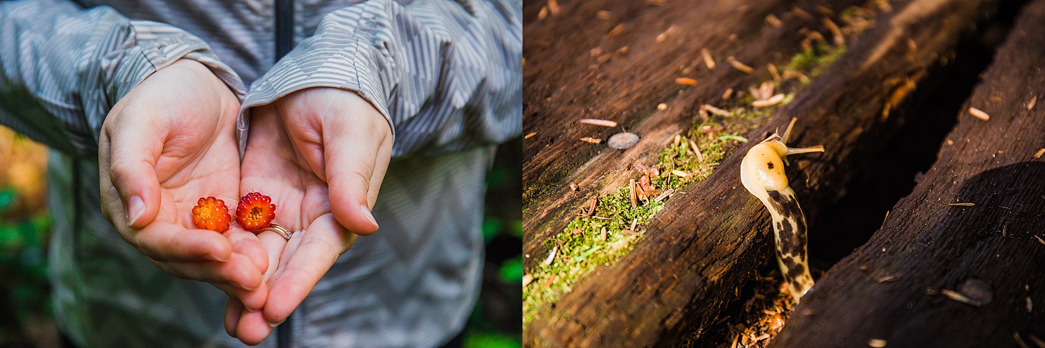
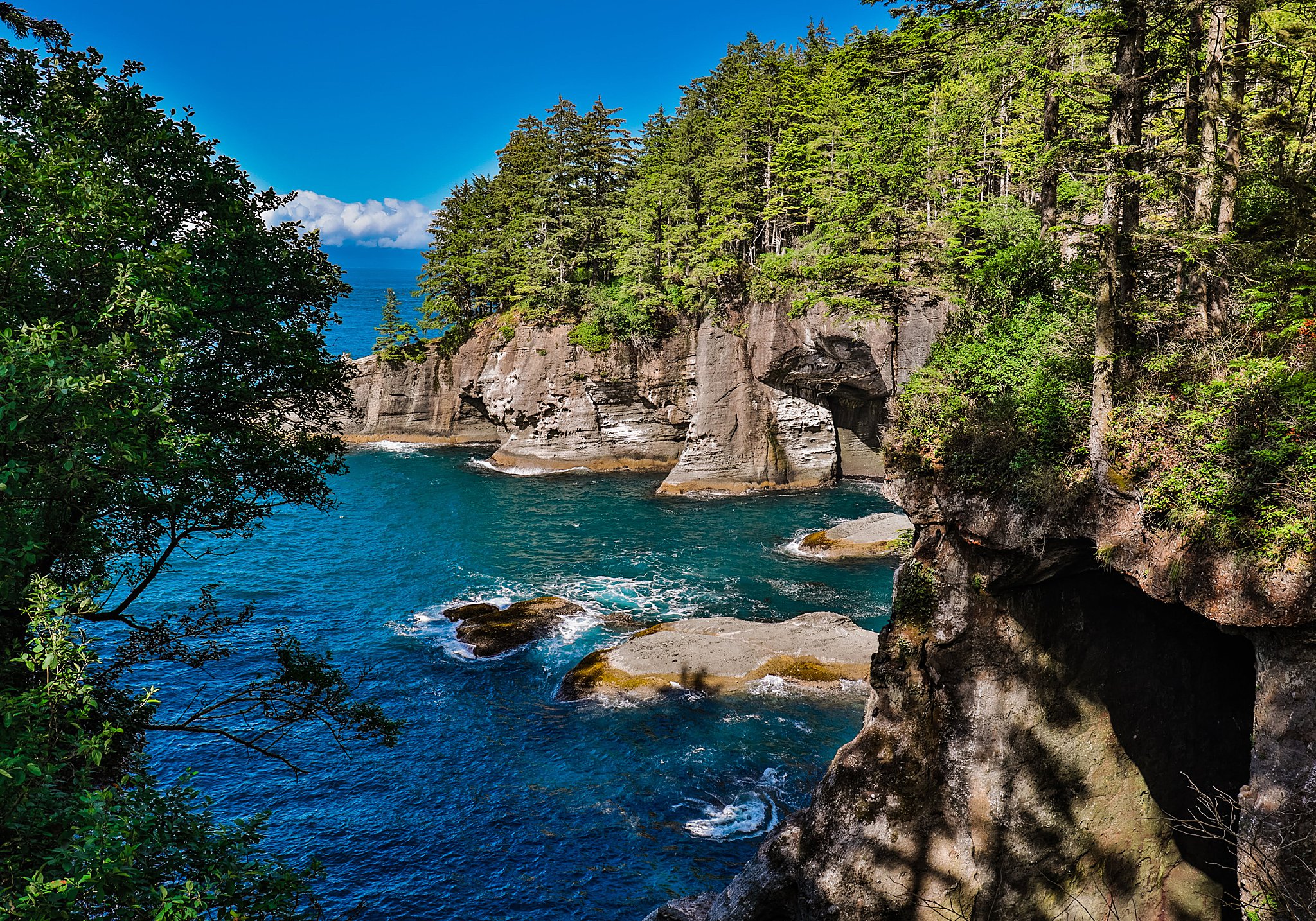
Halfway! I finally got to visit the most northwestern point in the contiguous US. It definitely lives up to its name: Cape Flattery. It’s managed by the Makah Tribe, so be sure to grab a permit at the Museum or grocery store within the tiny town.
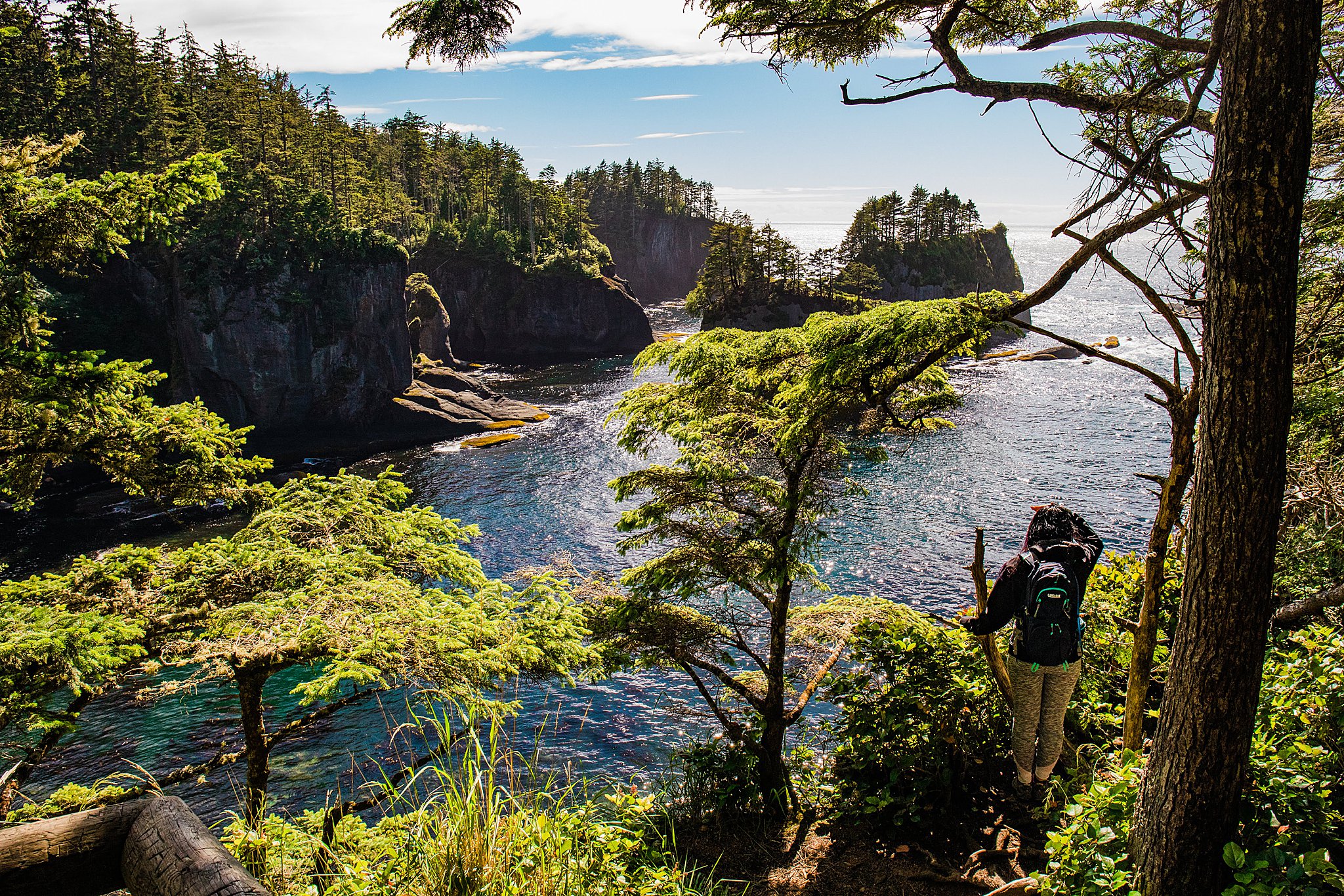
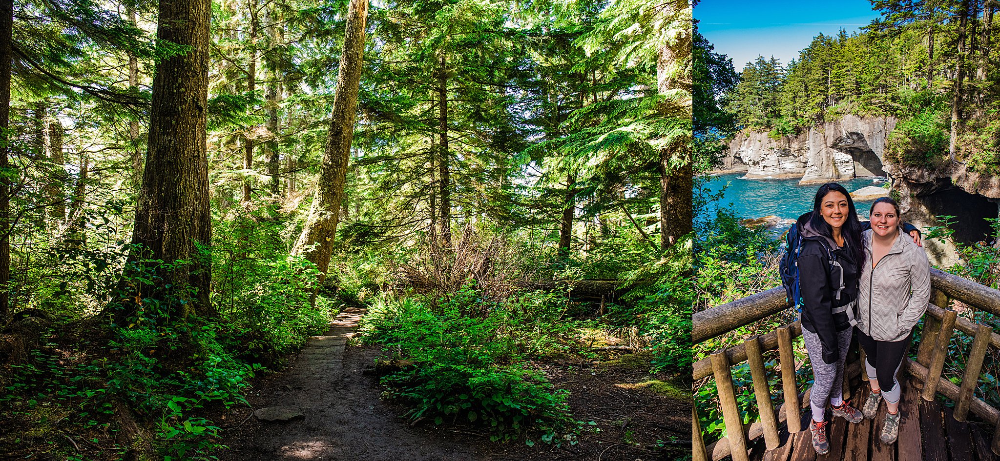
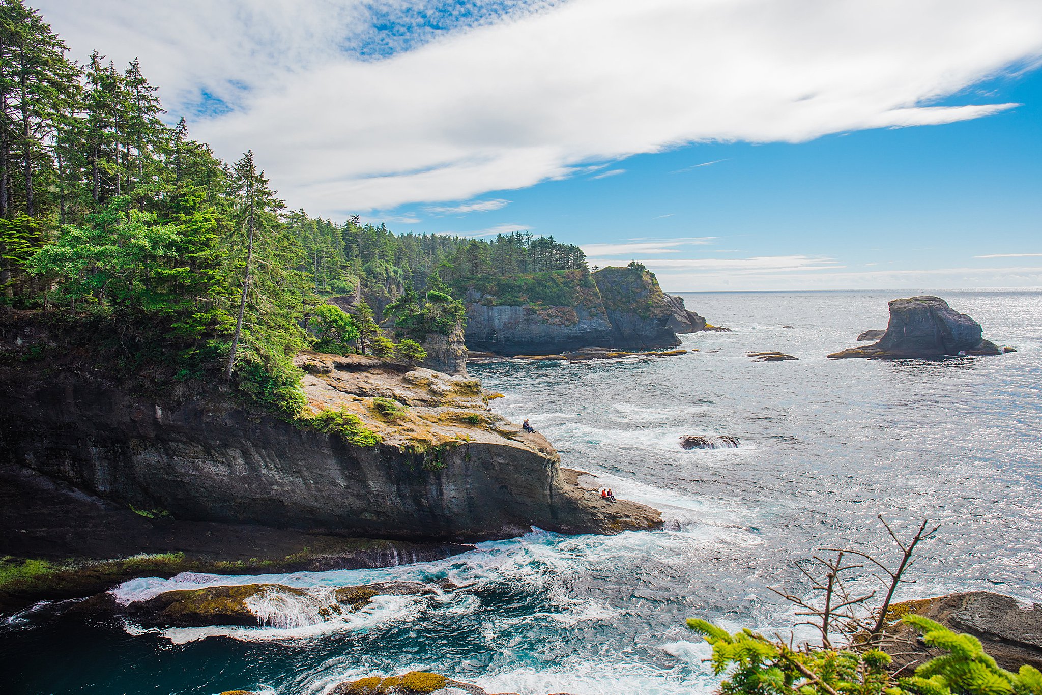
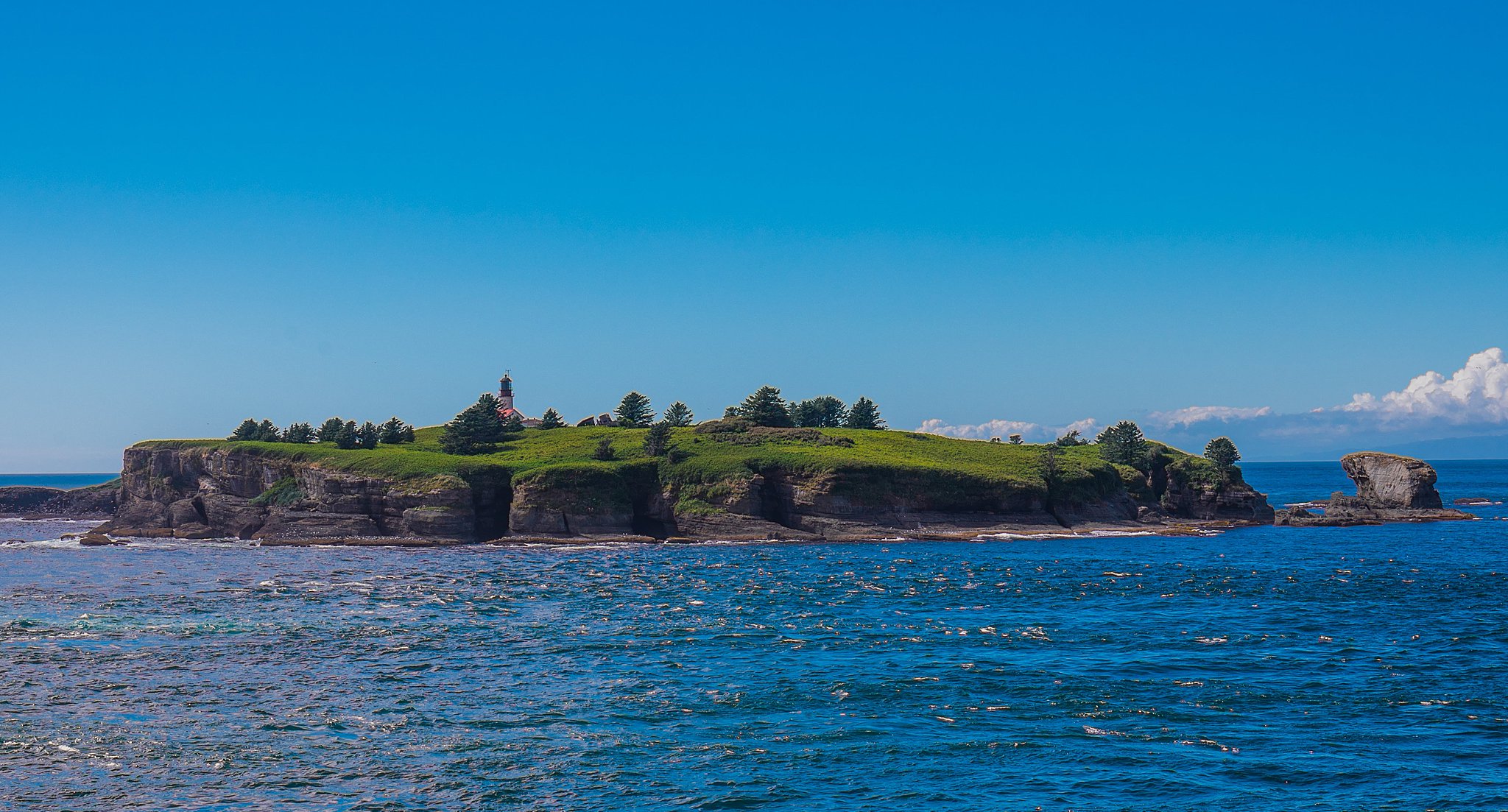
We made this our second destination after hitting up Hurricane Ridge. It was somewhere that had been on my bucket list for this year since I discovered it. I am glad I saved it to share with one of my visiting friends. The hike itself is downhill on the way there, and eventually it takes you to a couple different viewing platforms. The last one on the edge of the cliff looks out at Tatoosh Island.
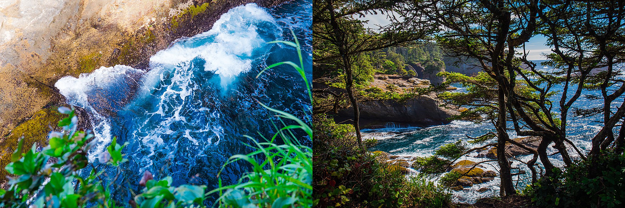
I find the landscape fascinating with the rock formations in the ocean topped with trees like wigs. It’s more beautiful than I can describe in words, so a photo essay is most appropriate here.
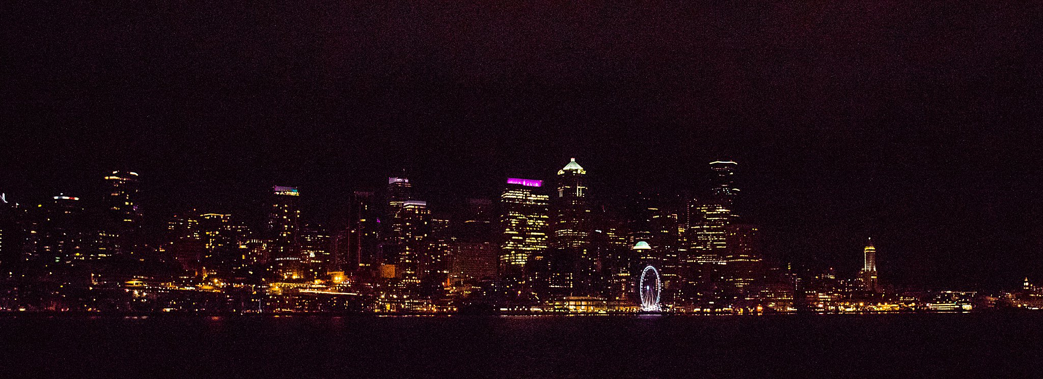
On the way back, we enjoyed watching the Seattle skyline from the Bainbridge Island ferry.


Driving Directions
From Port Angeles, drive Highway 101 west for 5 miles. Turn onto Highway 112 west and continue for 64 miles to Neah Bay. Continue on Bayview Avenue for 1 mile, then make a left on Fort Street, a right on Third Street, and a left on Cape Flattery Road. (signs make these directions easy to follow). Drive Cape Flattery Road to its end as it becomes Cape Loop Road, 7.6 miles. The Cape Flattery parking area can hold about 20 cars, and is equipped with a pit toilet.
A Makah Recreation Pass can be purchased at the Makah Tribal Museum or Washburn’s grocery