Distance: 3.4 miles, roundtrip
Elevation Gain: 1300 feet
Pass: Northwest Forest Pass
Hiked: 8.18.18 (Wildfire Season)
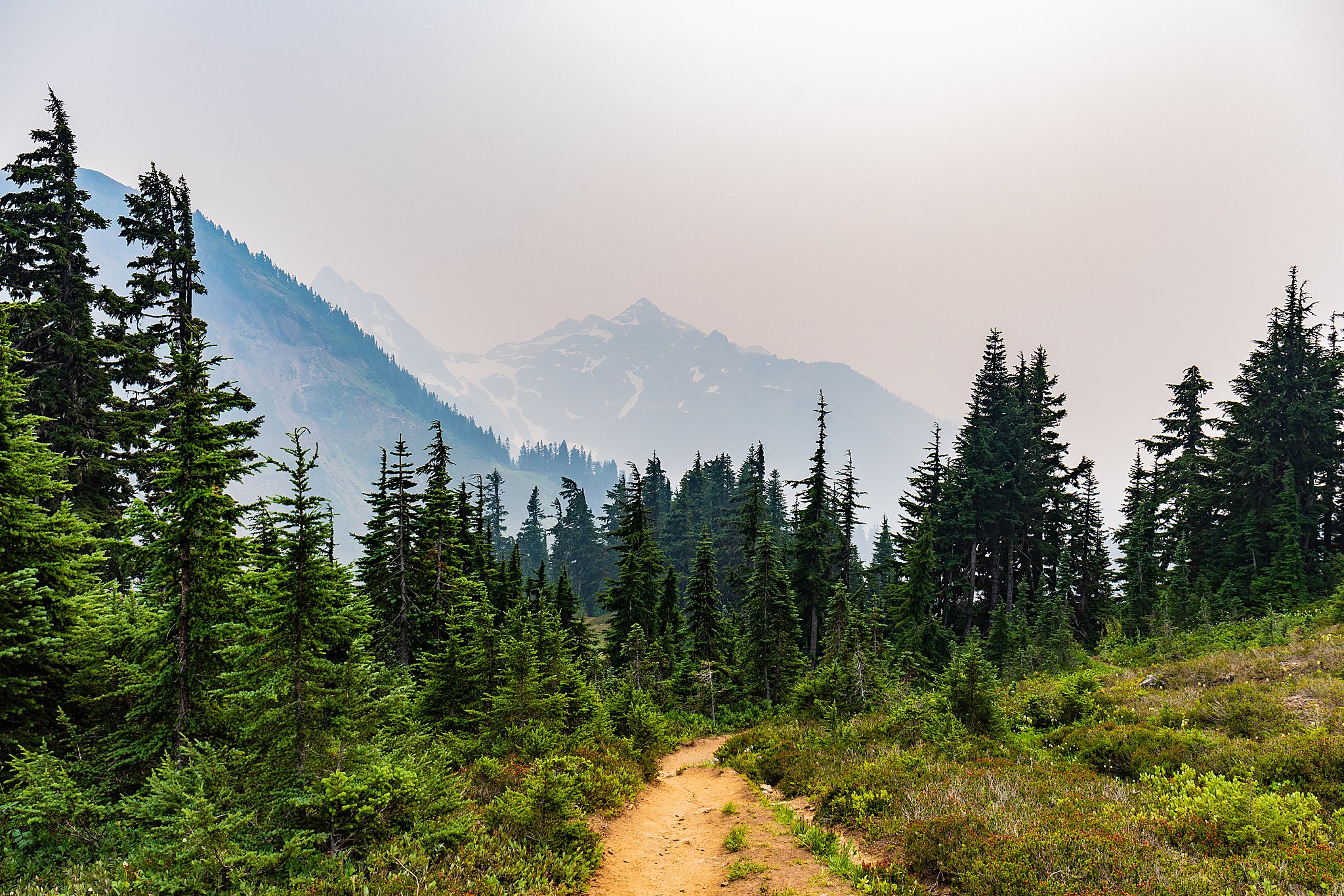
Thinking about his hike gives me extremely mixed feelings— On one hand, this hike provides epic 360-degree views with access to a mountain top lookout with a relatively short roundtrip distance and gain. On the other hand, on the day we went, the wildfires in BC were in full-force and the view was almost non existent, the cliff edges made us nervous, and we could feel the smoke all around us.
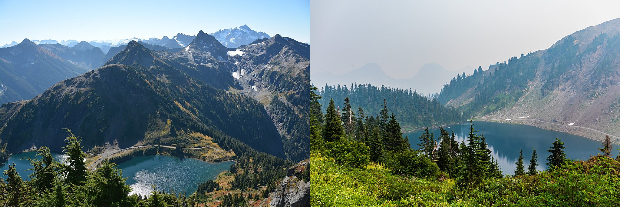
This is a typical expectation vs. reality moments (see above) since I was so pumped for this epic hike, but then it was nothing of what I expected and a lot of factors played into having a semi-negative experience for this one. The first challenge was getting up the extremely rocky/narrow forest road. We had already tested my CRV’s limits on previous hikes (specifically Summit Lake) without much issue so we felt fairly confident that with enough patience and strategy, that we could get up to the trailhead. There was some white-knuckle moments for me in the passenger’s seat, but overall Brighton was able to navigate the road without mishap. I have since gotten a new, higher version of the CRV, so I am curious how this will do in future trips up there.

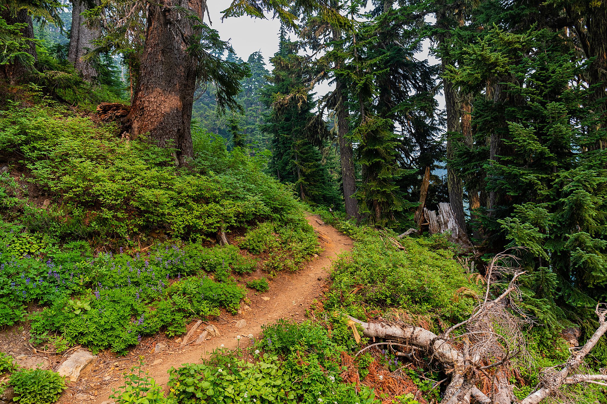
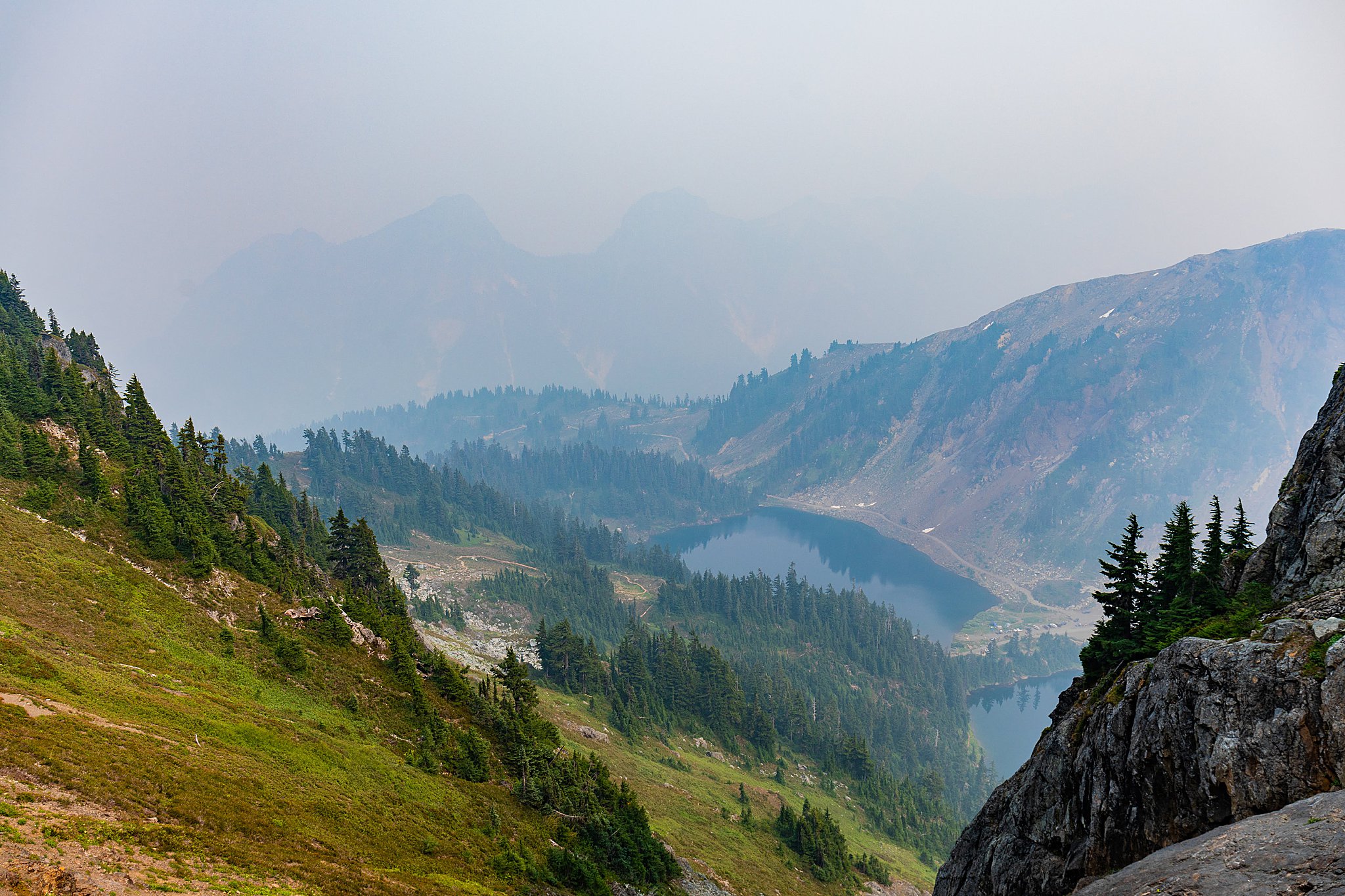

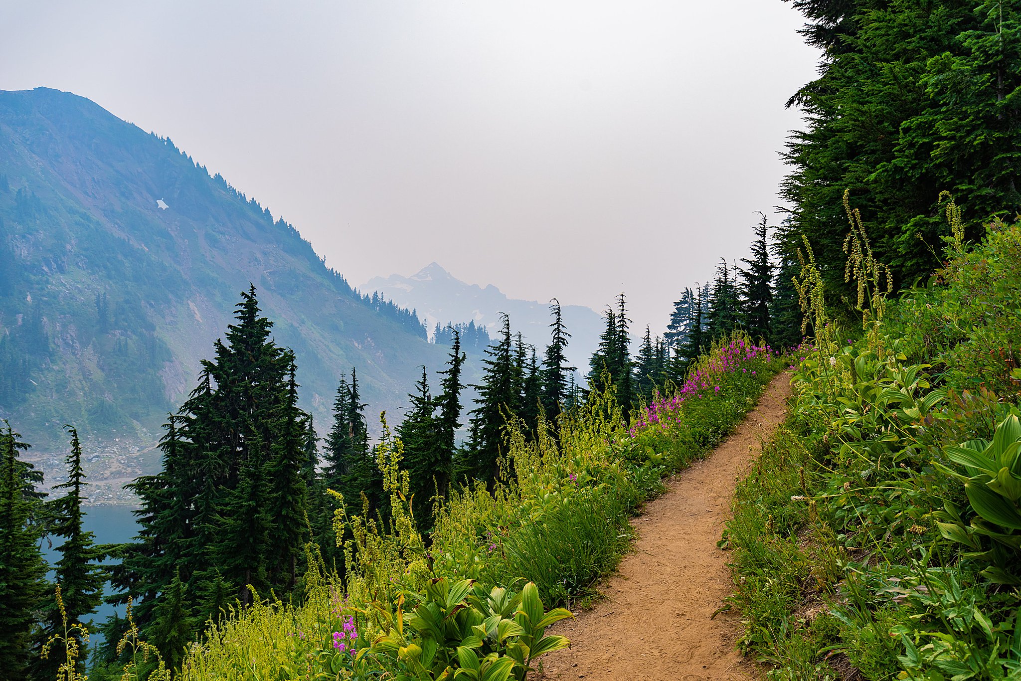 Once we got up to the trailhead, the smoke/smog was so thick that the shadows had this warm temperature to them and it was difficult to view too far in front of you. It was a strange phenomenon to experience. The other issue was that usually the trailhead provides really awesome views of these twin lakes and the mountains surrounding them. We could only faintly see the mountain outlines.
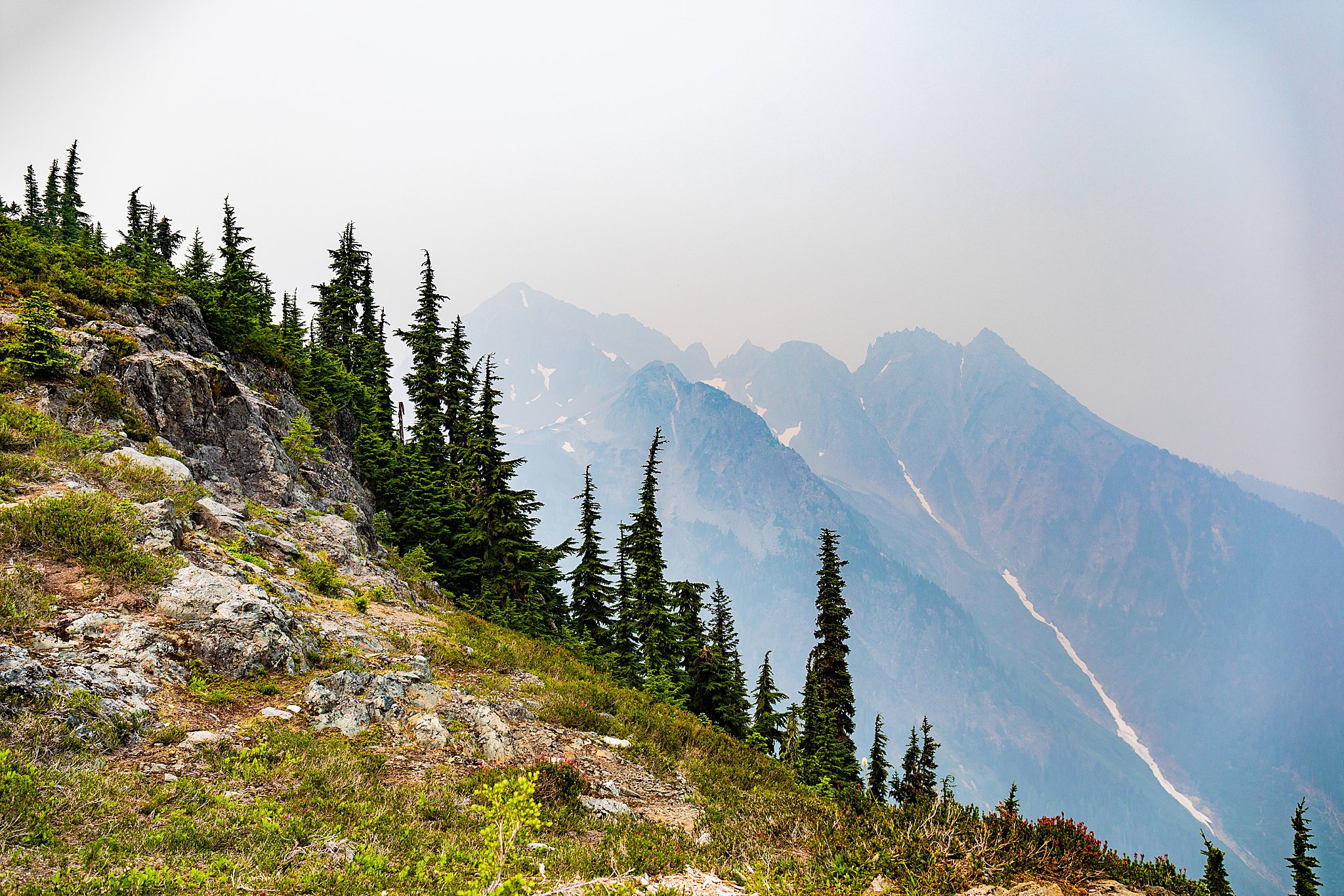
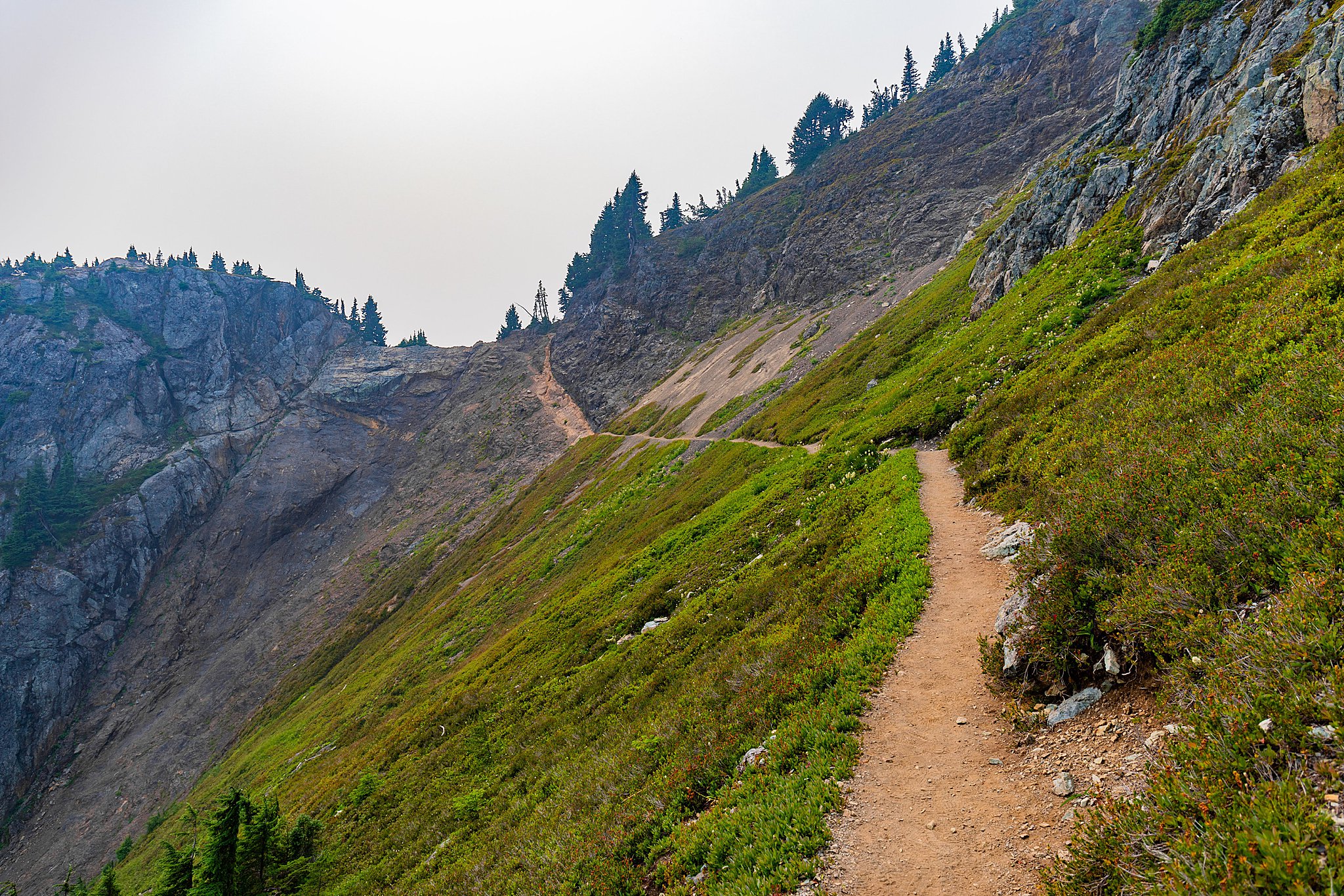
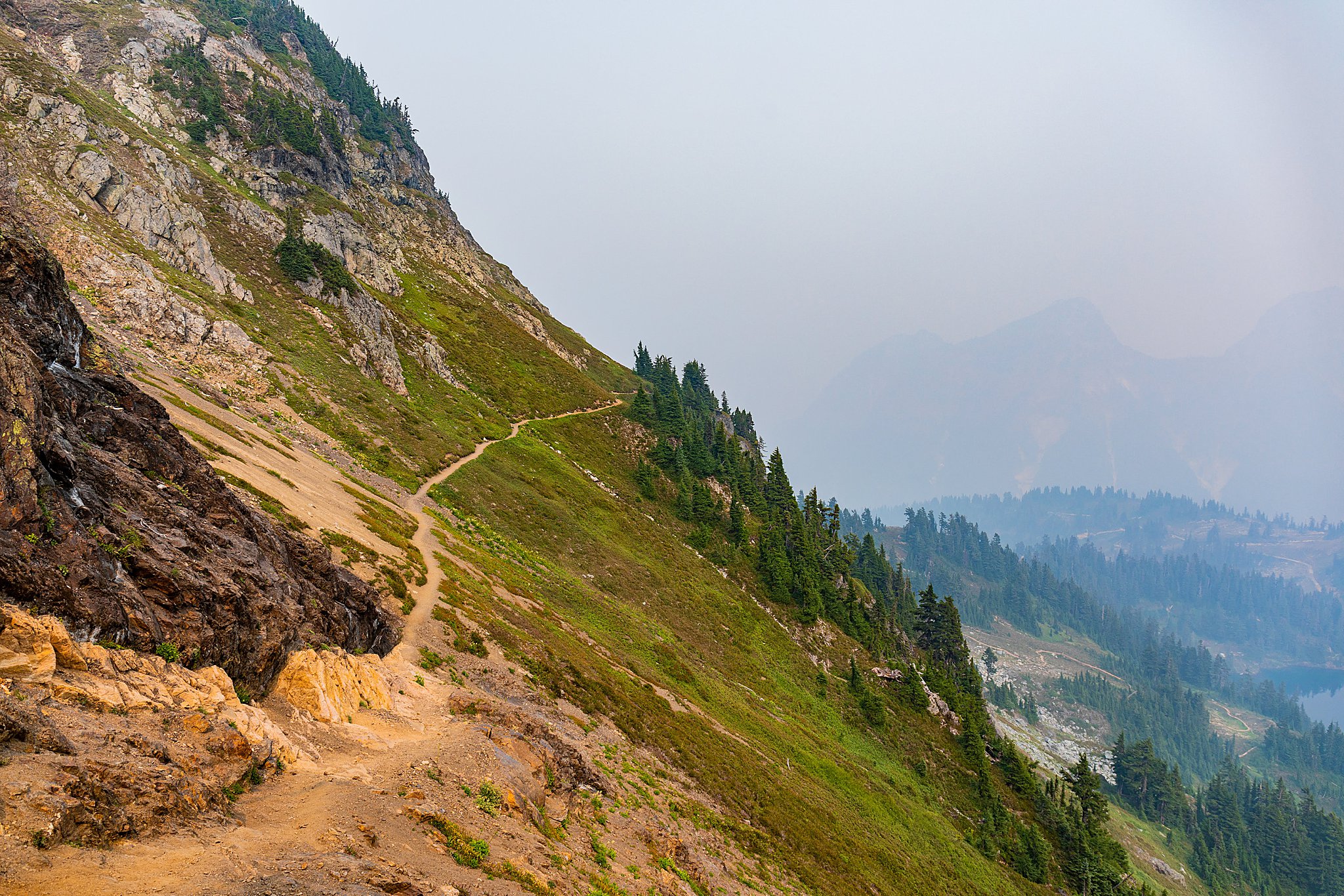
Still, we had driven for so long that we had to do the hike. It was a decent amount of gain in a short distance, and hiking through smoke (I know, not the best idea) only made it more difficult. Our anxiety was heightened because of the road and smoke, and we contemplating stopping a few times because of it. We got to the part right before the ridgeline, and the scree plus the thin trail and nothing preventing a fall from a long distance made Brighton and I even more nervous. We also had Koda which only made the anxiety worse.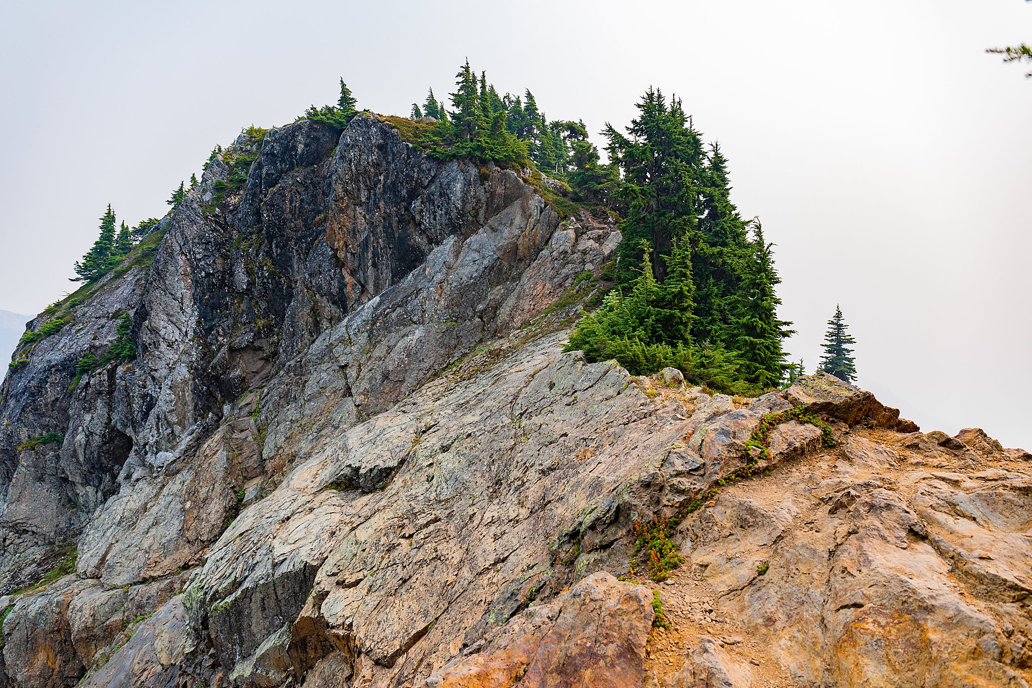
Continuing up the path, we finally made it to the saddle and I’ll be honest. I had a small anxiety attack. I don’t mind heights, but the situation already had me on edge I wasn’t sure if I wanted to continue. After calming down, we continued up the switchbacks until we could see the lookout and we decided to head back down. We did 95% of the hike, but unfortunately we didn’t make it to the lookout.
There would’ve been nothing to see. While this disappoints me, I still feel that we did enough to be accomplished and overall, our safety is the most important thing and we did what we needed to do in order to make good decisions.
I’d like to come back on a sunny, non-smoky day without Koda (sorry, Kods) for a better experience. I was reminded of the importance that there are off-days, as great as you hope the day will go.
Driving Directions
From I-5 exit 255, drive State Route 542 33 miles to the Glacier Public Service Center (GPSC) just past the town of Glacier. From the GPSC, continue east on SR 542 12.5 miles. Immediately beyond the Department of Transportation’s Shuksan maintenance facility, veer left onto Twin Lakes Road. The road is narrow, rocky, and potholed, but driveable. At 4.5 miles, pass the Yellow Aster Butte trailhead, and the last reliable shoulder parking. Beyond here, four-wheel drive is helpful, but a high clearance vehicle is essential. The rugged one-lane road passes a few camps and a vault toilet at the first lake (6.7 miles) then ends between the Twin Lakes, 7.0 miles from the turnoff onto Twin Lakes Road. There are four camp sites, a vault toilet, and parking for about twenty vehicles, with overflow parking for several more.